Trek Zone

Soggebru, Åndalsnes and Romsdal valley

#2 among attractions in Åndalsnes and Romsdal valley

View point
Soggebru

Facts and practical information

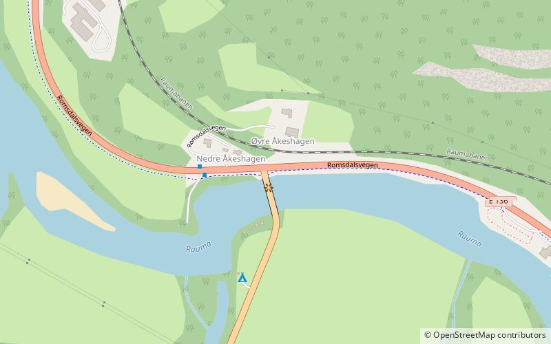
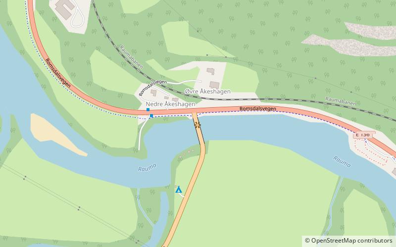
Soggebru is a place located in Åndalsnes and Romsdal valley (Møre og Romsdal county) and belongs to the category of view point.

It is situated at an altitude of 43 feet, and its geographical coordinates are 62°31'58"N latitude and 7°44'12"E longitude.

Among other places and attractions worth visiting in the area are: Sogge Bridge (bridge, 1 min walk), Grytten Church (church, 63 min walk), Store Trolltind, Reinheimen National Park (natural attraction, 84 min walk).

Coordinates: 62°31'58"N, 7°44'12"E
Address

Åndalsnes and Romsdal valley Norway

ContactAdd
Social media
Add

Åndalsnes and Romsdal valley plan & book

Unleash the traveler in you — discover the cheapest flight deals, find the perfect hotel or hostel nearby, and search for the best car rental prices. Travel at your own pace to discover new places and enjoy your journey.

Day trips

Soggebru – popular in the area (distance from the attraction)

Nearby attractions include: Troll Wall, Grytten Church, Kyrkjetaket, Romsdalshornet.

  • troll wall reinheimen national park3.5 miS
  • grytten church andalsnes and romsdal valley2.5 miNW
  • kyrkjetaket7.7 miNE
  • romsdalshornet3.3 miSE
  • store trolltind reinheimen national park3.3 miS
  • store venjetinden3.7 miSE
  • mannen reinheimen national park5.4 miS
  • sogge bridge location map
    ~80 ftNE
  • hen church isfjorden3.5 miNE
  • trollryggen reinheimen national park3.5 miS

Where to next? Visit more og romsdal Møre og Romsdal region page or discover the top tourist attractions in Norway.