Kumlevollvatnet

Map
Facts and practical information
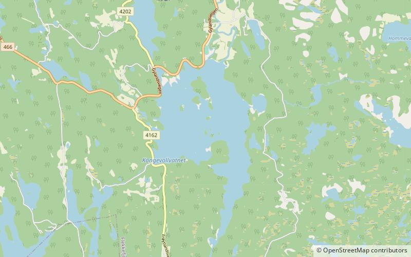
Kumlevollvatnet or Kongevollvatnet is a lake in the municipality of Flekkefjord in Agder county, Norway. The 3.12-square-kilometre lake lies along the river Fedaelva, just south of Gyland and about 12 kilometres northeast of the town of Flekkefjord. ()
Local name: Kongevollvatnet Length: 2.17 miWidth: 6562 ftElevation: 367 ft a.s.l.Coordinates: 58°21'36"N, 6°50'3"E
Location
Vest-Agder
ContactAdd
Social media
Add
Day trips
Kumlevollvatnet – popular in the area (distance from the attraction)
Nearby attractions include: Kvinesdal Church, Gyland Church, Selura.


