Selura

Gallery (1)
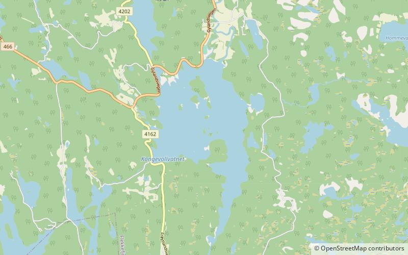
Map
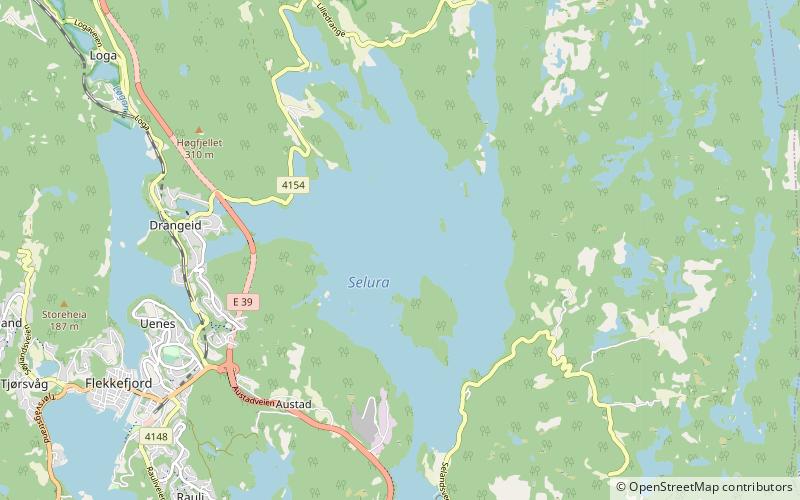
Map
Facts and practical information
Selura is a lake in the municipality of Flekkefjord in Agder county, Norway. ()
Alternative names: Length: 3.48 miWidth: 9843 ftElevation: 112 ft a.s.l.Coordinates: 58°18'33"N, 6°42'31"E
Location
Vest-Agder
ContactAdd
Social media
Add
Day trips