Kobbvatnet

Gallery (1)
Map
Map
Facts and practical information
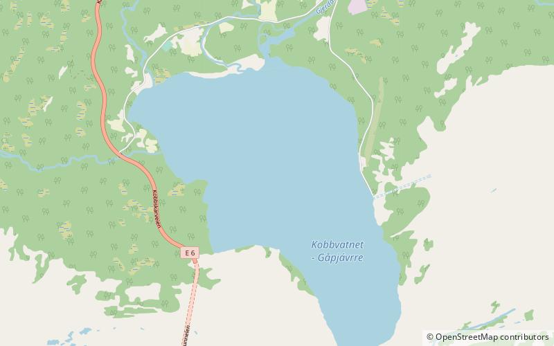
Kobbvatnet or Gåpjávrre is a lake that lies in the municipality of Sørfold in Nordland county, Norway. The 5.07-square-kilometre lake lies about 10 kilometres southeast of the village of Mørsvikbotn, along the European route E6 highway. ()
Alternative names: Area: 1.96 mi²Length: 2.49 miWidth: 8202 ftElevation: 30 ft a.s.l.Coordinates: 67°37'19"N, 15°58'9"E
Location
Nordland
ContactAdd
Social media
Add
Day trips