Ladehammeren, Trondheim
Map
Map

Facts and practical information
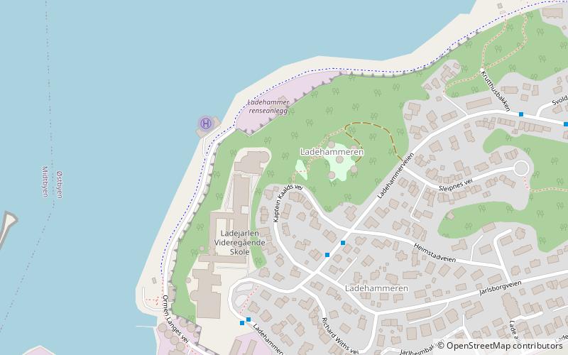
Ladehammeren is a small mountain on the Lade peninsula in the municipality of Trondheim in Trøndelag county, Norway. It is located just south of the Korsvika area. Våttahaugen, the highest point of Ladehammeren, is 71 metres above sea level. Kjerringberget is another high point on the mountain. The area of Ladehammeren was the site of a burial cairn during the Viking Age. ()
Address
Trondheim
ContactAdd
Social media
Add
Day trips
Ladehammeren – popular in the area (distance from the attraction)
Nearby attractions include: Ringve Museum, Ladestien, Lade Church, Lade Mansion.
Frequently Asked Questions (FAQ)
Which popular attractions are close to Ladehammeren?
Nearby attractions include Lade Church, Trondheim (11 min walk), Lade Mansion, Trondheim (13 min walk), Kjerringberget, Trondheim (14 min walk), Dora II, Trondheim (14 min walk).
How to get to Ladehammeren by public transport?
The nearest stations to Ladehammeren:
Bus
Train
Ferry
Tram
Bus
- Ladehammeren • Lines: 20 (3 min walk)
- Ladejarlen vgs. • Lines: 20 (4 min walk)
Train
- Lilleby (14 min walk)
- Lademoen (19 min walk)
Ferry
- Trondheim • Lines: 800, 805, 810 (28 min walk)
- Ravnkloa • Lines: Munkholmbåten (34 min walk)
Tram
- St. Olavs gate • Lines: 9 (40 min walk)

