Ytre Sula

Gallery (1)
Map
Map
Facts and practical information
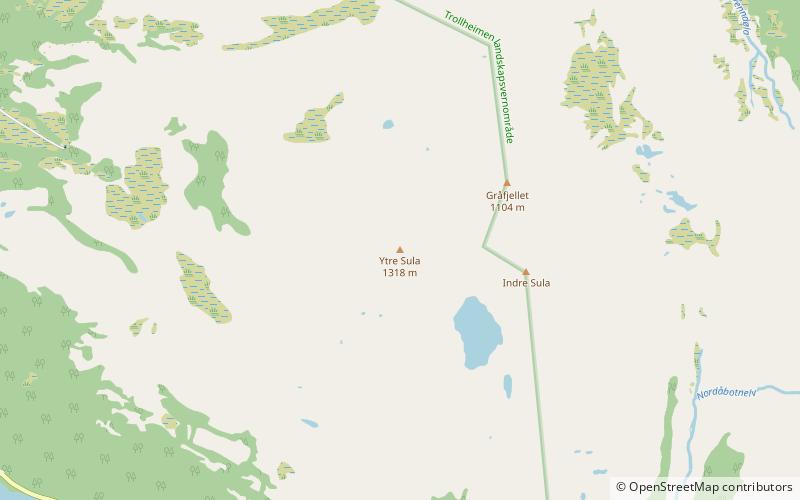
Ytre Sula is a mountain in the municipality of Surnadal in Møre og Romsdal county, Norway. It lies just north of the village of Todalsøra and the Todalsfjorden. ()
Elevation: 4324 ftCoordinates: 62°51'21"N, 8°43'40"E
Location
Møre og Romsdal
ContactAdd
Social media
Add
Day trips

