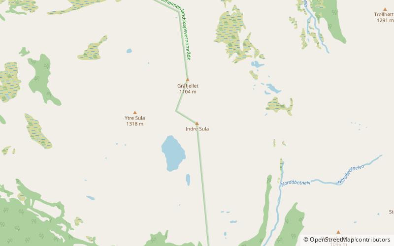
Indre Sula
Map

Map

Facts and practical information
Indre Sula is a mountain in the municipality of Surnadal in Møre og Romsdal county, Norway. It is part of the Trollheimen mountain range, and it lies just north of the village of Todalsøra and the Todalsfjorden. ()
Elevation: 4347 ftCoordinates: 62°51'15"N, 8°44'58"E
Location
Møre og Romsdal
ContactAdd
Social media
Add
Day trips
Indre Sula – popular in the area (distance from the attraction)
Nearby attractions include: Ytre Sula, Todalen Church.


