Sjunkhatten National Park
Map

Map

Facts and practical information
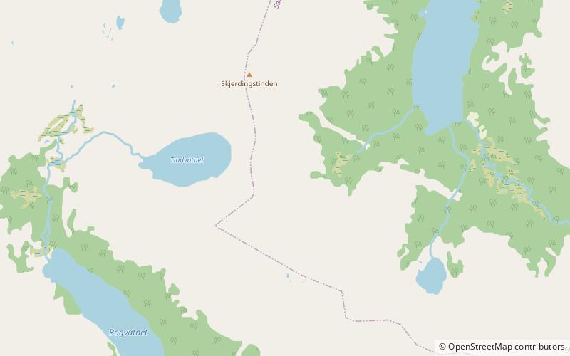
Sjunkhatten National Park was established in 2010 in Nordland county, Norway. The park consists of a 417.5-square-kilometre continuously protected area, including 39.8-square-kilometre sea area in the municipalities of Bodø, Fauske, and Sørfold. The park is located on a peninsula between the Sørfolda fjord and Saltfjorden, including glacier-formed landscape, caves and water systems, fjords, the large lake Heggmovatnet, rare animal species, and cultural heritage. ()
Local name: Sjunkhatten nasjonalpark Established: 2010 (16 years ago)Area: 161.12 mi²Elevation: 1772 ft a.s.l.Coordinates: 67°25'39"N, 15°6'18"E
Location
Nordland
ContactAdd
Social media
Add
Day trips
Sjunkhatten National Park – popular in the area (distance from the attraction)
Nearby attractions include: Heggmovatnet.

