Brogniartfjella
Map
Facts and practical information
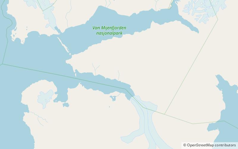
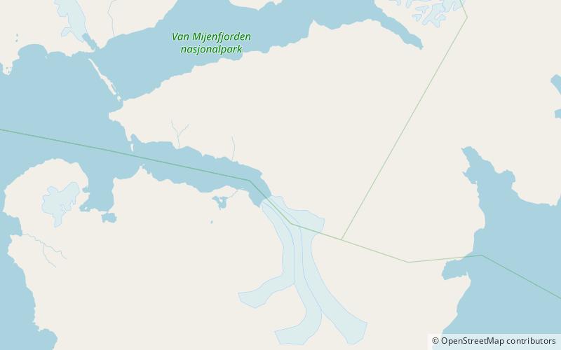
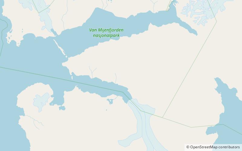
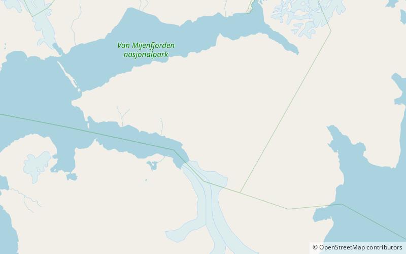
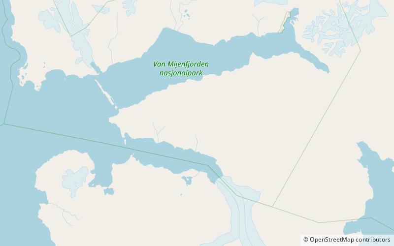
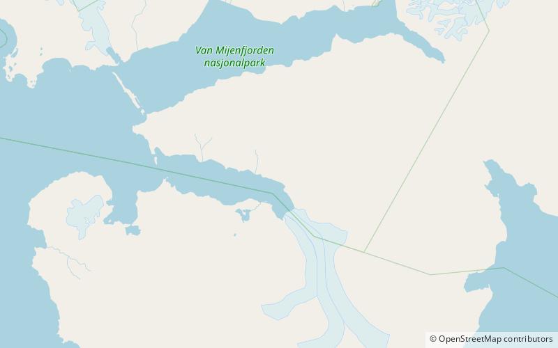
Brogniartfjella is a mountain ridge in Nathorst Land at Spitsbergen, Svalbard. The ridge is located at the north side of Van Keulenfjorden. It has a length of about eight kilometers, and its highest peak is 904 m.a.s.l. The ridge is named after French paleontologist Adolphe-Théodore Brongniart. First known ascent dates from 1920. The valley of Wittrockdalen separates Brogniartfjella from Wittrockfjellet. ()
Coordinates: 77°34'30"N, 15°52'52"E
Location
Svalbard
ContactAdd
Social media
Add
Day trips
Brogniartfjella – popular in the area (distance from the attraction)
Nearby attractions include: Davisdalen, Steenstrupdalen, Wittrockfjellet, Marlowfjellet.
