Mjellegga
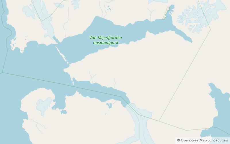
Map
Facts and practical information
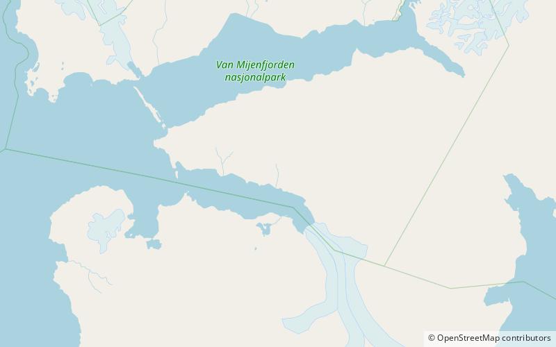
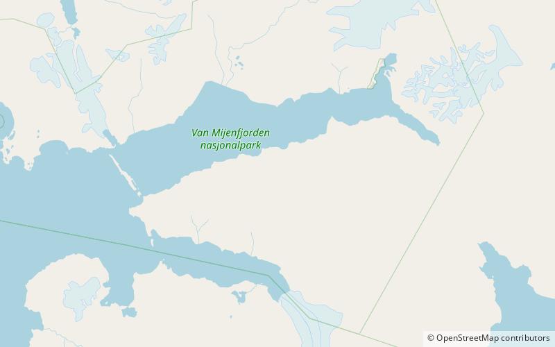
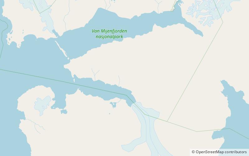
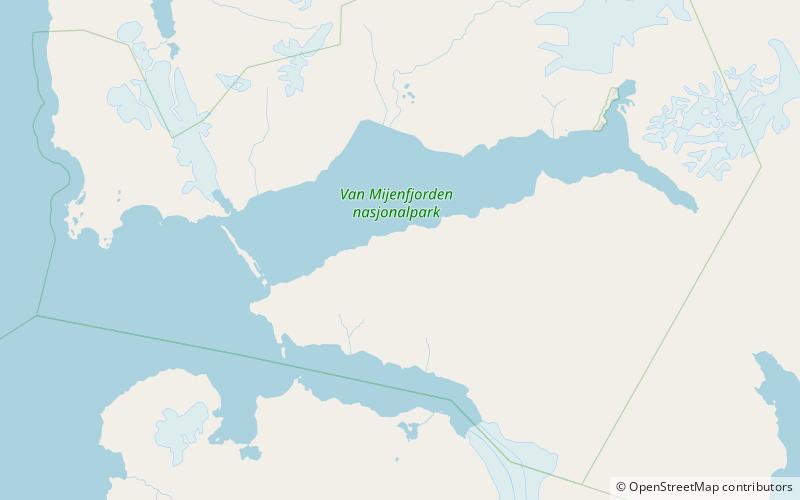
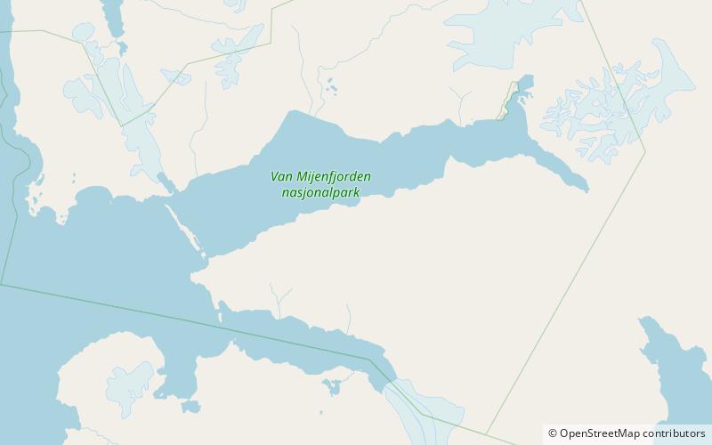
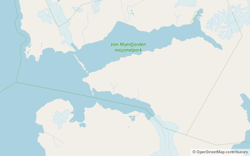
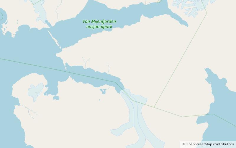
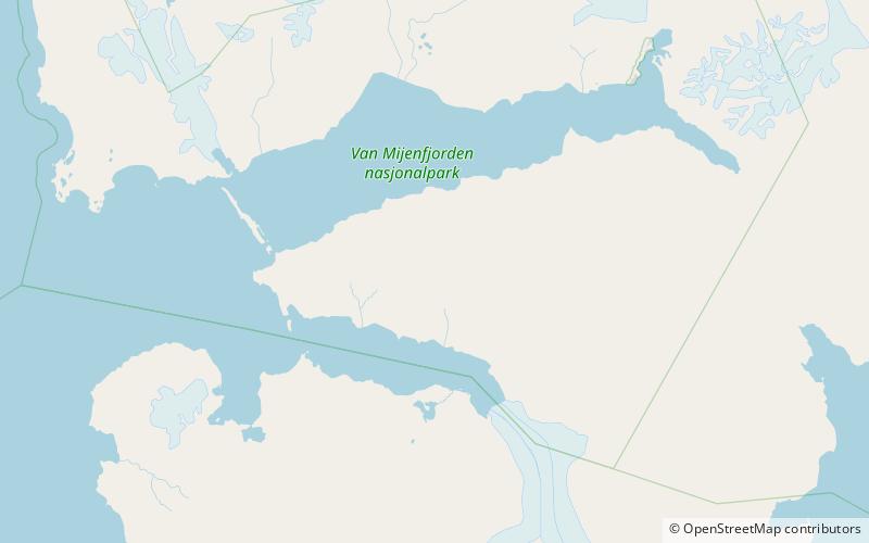
Mjellegga is a mountain ridge in Nathorst Land at Spitsbergen, Svalbard. It has a length of about 3.5 kilometers, and its highest peak is 785 m.a.s.l. Surrounding glaciers are Mjellfonna, Greenbreen and Martinbreen. The valley of Davisdalen extends from Mjellegga down to the headland of Davisodden, at the northern side of Van Keulenfjorden. ()
Coordinates: 77°38'38"N, 15°42'29"E
Location
Svalbard
ContactAdd
Social media
Add
Day trips
Mjellegga – popular in the area (distance from the attraction)
Nearby attractions include: Van Keulenfjorden, Davisdalen, Bromelldalen, Wittrockfjellet.

