Reinevatn
Map
Facts and practical information
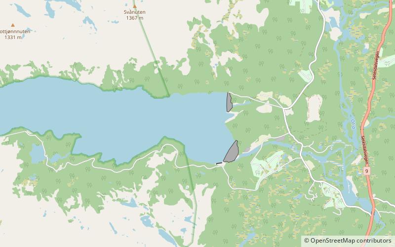
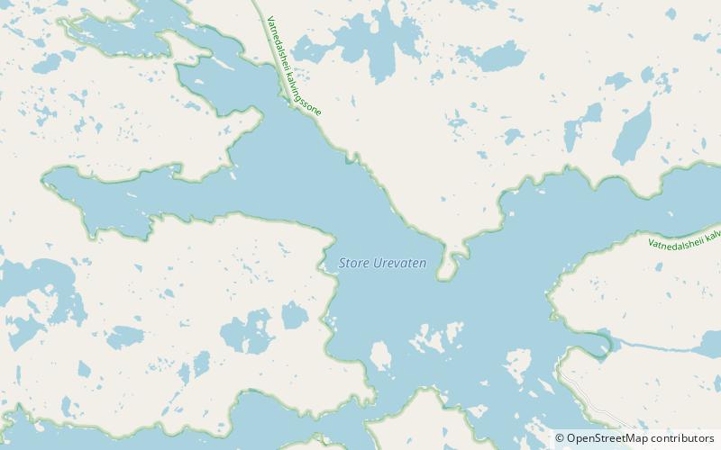
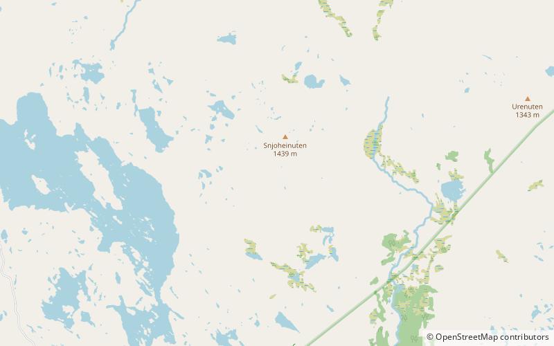
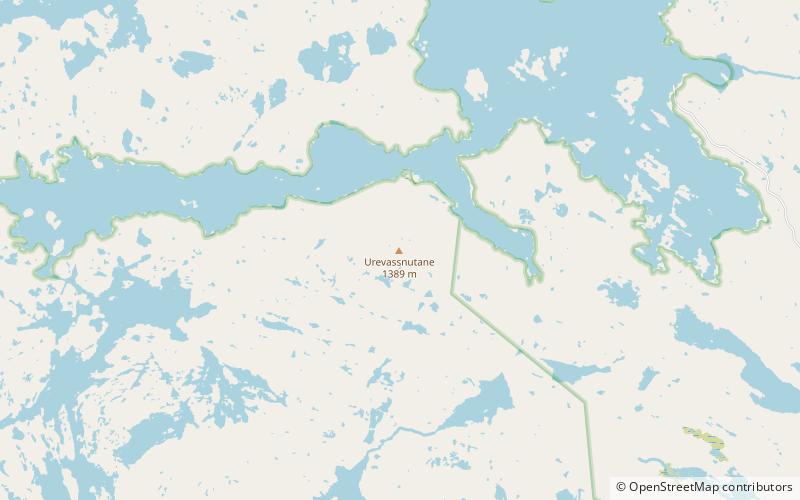
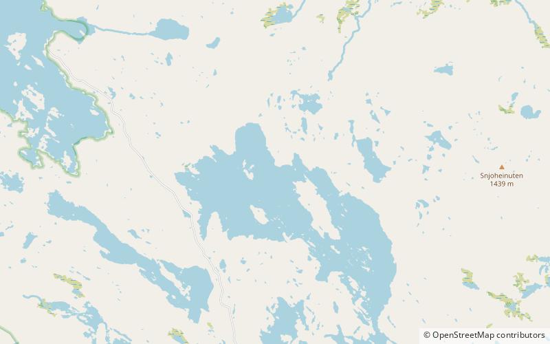
Reinevatn is a lake in the municipality of Bykle in Agder county, Norway. The 2.86-square-kilometre lake is located south of the lakes Store Urevatn and Vatndalsvatnet in the Setesdalsheiene mountains in the Setesdal valley, about 10 kilometres northwest of the village of Bykle. The lake has a dam on the southern edge which keeps the water level at an elevation of 1,170 metres above sea level. The dam's spillway flows into the nearby river Skargjesåni. The Snjoheinuten mountain lies just to the northeast of the lake. ()
Alternative names: Length: 2.17 miWidth: 4921 ftElevation: 3835 ft a.s.l.Coordinates: 59°25'35"N, 7°12'1"E
Location
Aust-Agder
ContactAdd
Social media
Add
Day trips
Reinevatn – popular in the area (distance from the attraction)
Nearby attractions include: Old Bykle Church, Bykle Church, Vatndalsvatnet, Store Urevatn.


