Snjoheinuten
Map
Facts and practical information
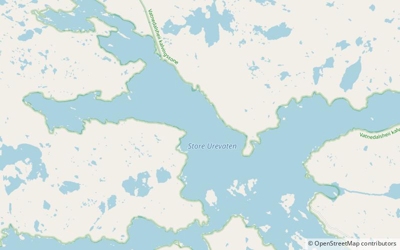
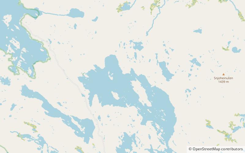
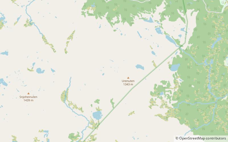
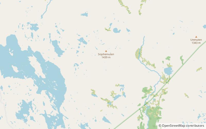
Snjoheinuten is a mountain in the municipality of Bykle in Agder county, Norway. The 1,439-metre tall mountain is the 6th highest mountain in Agder county out of all the mountains with a prominence of more than 50 metres. The mountain sits on the southern shore of the lake Vatndalsvatnet, just west of the mountain Kvervetjønnuten and east of the lakes Reinevatn and Store Urevatn. The nearest villages are Hoslemo, about 7 kilometres to the east and the village of Bykle is about 10 kilometres to the southeast. ()
Location
Aust-Agder
ContactAdd
Social media
Add
Day trips
Snjoheinuten – popular in the area (distance from the attraction)
Nearby attractions include: Old Bykle Church, Bykle Church, Vatndalsvatnet, Store Urevatn.


