Romsdalshornet
Map

Map

Facts and practical information
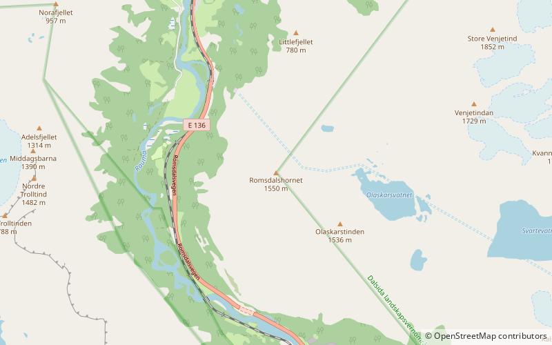
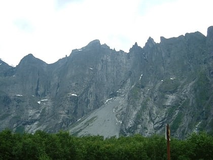
Romsdalshornet is a mountain in the municipality of Rauma in Møre og Romsdal county, Norway. The mountain is located 10 kilometres southeast of the town of Åndalsnes, along the Rauma River in the Romsdalen valley. The Rauma railway line and the European route E136 highway both pass by the mountain. The mountain Store Venjetinden lies 3 kilometres east of the mountain and 3 kilometres to the west lies the mountain Store Trolltind—part of the Troll Wall/Trollryggen ridge. ()
Alternative names: First ascent: 1828Elevation: 5085 ftProminence: 1345 ftCoordinates: 62°29'28"N, 7°47'10"E
Location
Møre og Romsdal
ContactAdd
Social media
Add
Day trips
Romsdalshornet – popular in the area (distance from the attraction)
Nearby attractions include: Troll Wall, Grytten Church, Kors Church, Store Trolltind.


