Kolåstinden
Map

Map

Facts and practical information
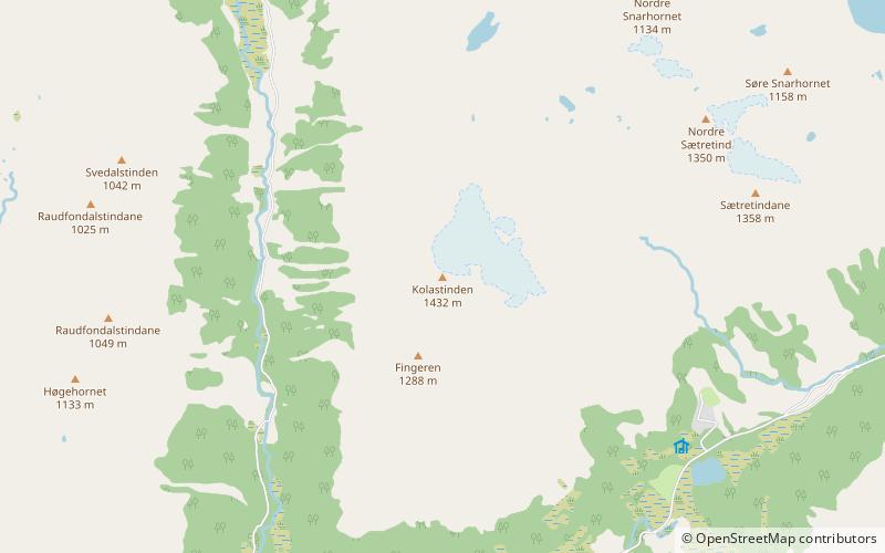
Kolåstinden is a mountain in the municipality of Ørsta, Møre og Romsdal county, Norway. The 1,432-metre tall mountain is located where the Romedalen and Standaldalen valleys converge, about 5.5 kilometres west of the village of Store Standal and the Hjørundfjorden and it is about 12 kilometres northeast of the village of Ørsta. ()
Location
Møre og Romsdal
ContactAdd
Social media
Add
Day trips
Kolåstinden – popular in the area (distance from the attraction)
Nearby attractions include: Saudehornet, Vartdal Church, Hjørundfjord Church.


