Saudehornet

Gallery (2)
Map
Map
Gallery
Facts and practical information
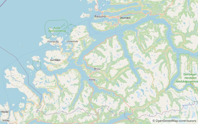
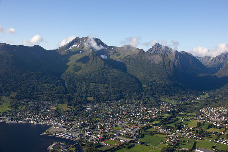
Saudehornet or Sauehornet is a mountain that is located 3 kilometres north of the village of Ørsta in the municipality of Ørsta, Møre og Romsdal, Norway. The 1,303-metre is a very popular, though steep, destination for skiing in the Sunnmørsalpene range. It is located just north of the European route E39 highway, about 5 kilometres north of the Ørsta–Volda Airport, Hovden, and about 7 kilometres south of the village of Vartdal. ()
Location
Møre og Romsdal
ContactAdd
Social media
Add
Day trips

