Andfiskvatnet

Gallery (1)
Map
Map
Facts and practical information
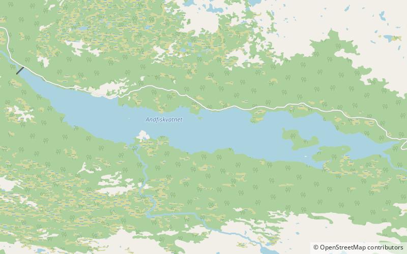
Andfiskvatnet is a lake in the municipality of Rana in Nordland county, Norway. The 2.7-square-kilometre lake lies about 3 kilometres southeast of the village of Hauknes and about 6 kilometres south of the town of Mo i Rana. The lake flows out into the river Andfiskåga which flows into the Ranfjorden. ()
Alternative names: Length: 3.73 miWidth: 2625 ftElevation: 764 ft a.s.l.Coordinates: 66°15'53"N, 14°11'29"E
Location
Nordland
ContactAdd
Social media
Add
Day trips


