Juklevatnet

Map
Facts and practical information
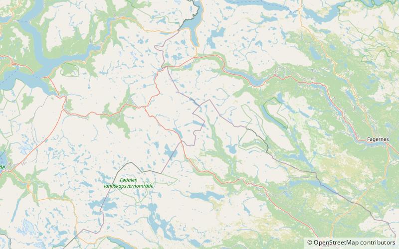
Juklevatnet is a lake in the municipalities of Hemsedal and Lærdal, Norway. It is located 21 kilometres east of Borgund in Lærdal, just to the south of the mountain Høgeloft in the Filefjell range. The 3.07-square-kilometre lake sits at an elevation of 1,286 metres above sea level. It is located 5 kilometres northeast of the lake Eldrevatnet and 10 kilometres northeast of the lake Øljusjøen. ()
Location
Sogn og Fjordane
ContactAdd
Social media
Add
Day trips
Juklevatnet – popular in the area (distance from the attraction)
Nearby attractions include: Eldrevatnet, Høgeloft, Haukefjellet, Ørnenosi.


