Vriompeisen
Map

Map

Facts and practical information
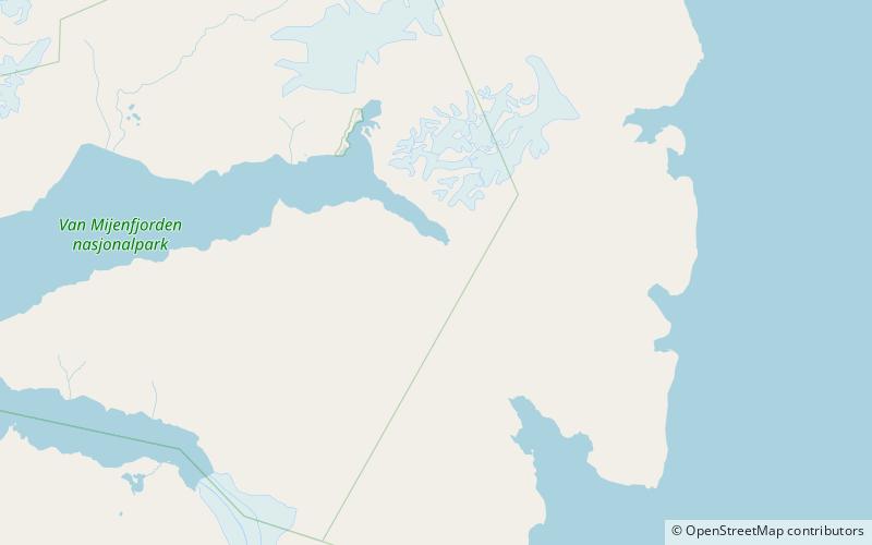
Vriompeisen is a mountain area in Nathorst Land at Spitsbergen, Svalbard. It comprises the peaks of Kroknosa, Peisen and Peisnosa, which form a U-shape surrounding the glacier of Peisbreen. Vriompeisen is located between the glaciers of Paulabreen, Scheelebreen, Klubbebreen and Sokkbreen. ()
Coordinates: 77°43'59"N, 17°7'23"E
Location
Svalbard
ContactAdd
Social media
Add
Day trips
Vriompeisen – popular in the area (distance from the attraction)
Nearby attractions include: Paulabreen, Bakaninbreen, Scheelebreen, Hollertoppen.


