Scheelebreen

Gallery (1)
Map
Map
Facts and practical information
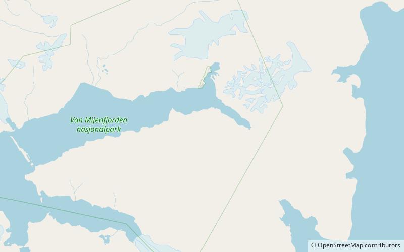
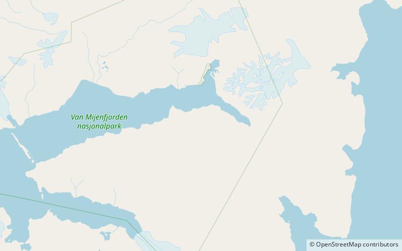
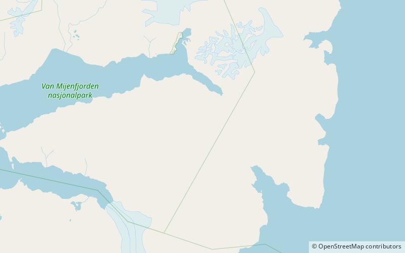
Scheelebreen is a glacier in Nathorst Land at Spitsbergen, Svalbard. It has a length of about sixteen kilometers, and is located between the mountains of Vriompeisen and Fagerstafjella. The glacier is named after Swedish chemist Carl Wilhelm Scheele. ()
Coordinates: 77°41'24"N, 16°58'12"E
Location
Svalbard
ContactAdd
Social media
Add
Day trips