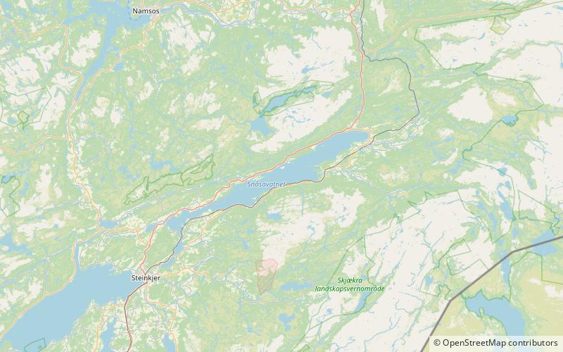
Snåsavatnet
Map

Map

Facts and practical information
Snåsavatnet is Norway's sixth-largest lake. The 122-square-kilometre lake is located in the municipalities of Steinkjer and Snåsa in Trøndelag county, Norway. The villages of Følling and Sunnan lie at the southwestern end of the lake and the village of Snåsa lies at the northeastern end of the lake. European route E6 runs along the northern shore of the lake and the Nordland Line runs along the southern shore. ()
Alternative names: Area: 47.15 mi²Length: 24.85 miWidth: 3.11 miMaximum depth: 610 ftElevation: 79 ft a.s.l.Coordinates: 64°11'15"N, 12°1'30"E
Location
Nord-Trøndelag
ContactAdd
Social media
Add
