Svalbreen
Map
Map

Facts and practical information
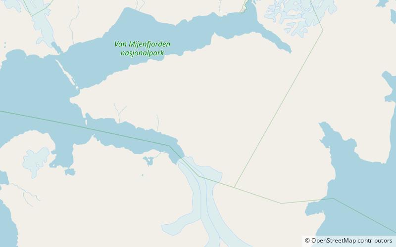
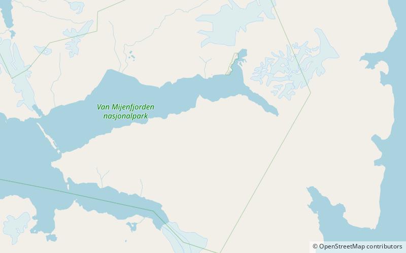
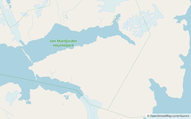
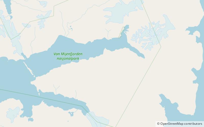
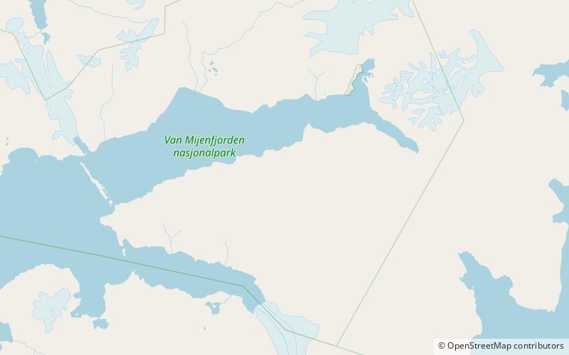
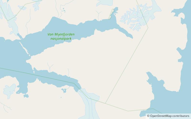
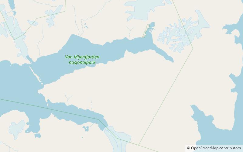
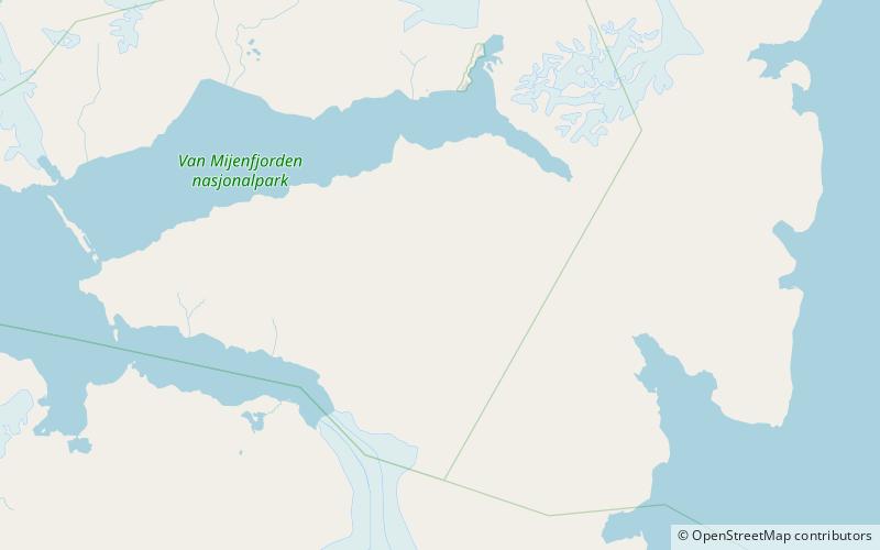
Svalbreen is a glacier in Nathorst Land at Spitsbergen, Svalbard. It has a length of about thirteen kilometers, and extends from the mountain of Blæja to the valley of Danzigdalen. The mountain of Svalhøgda is located between Svalbreen and Harebreen, and these glaciers merge further north. ()
Coordinates: 77°39'43"N, 16°31'41"E
Location
Svalbard
ContactAdd
Social media
Add
Day trips
Svalbreen – popular in the area (distance from the attraction)
Nearby attractions include: Marlowfjellet, Vengefjellet, Juvtinden, Rånekampen.

