Rånekampen
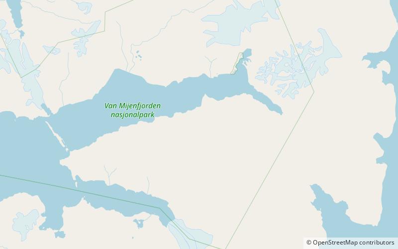
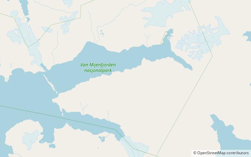
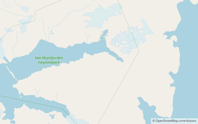
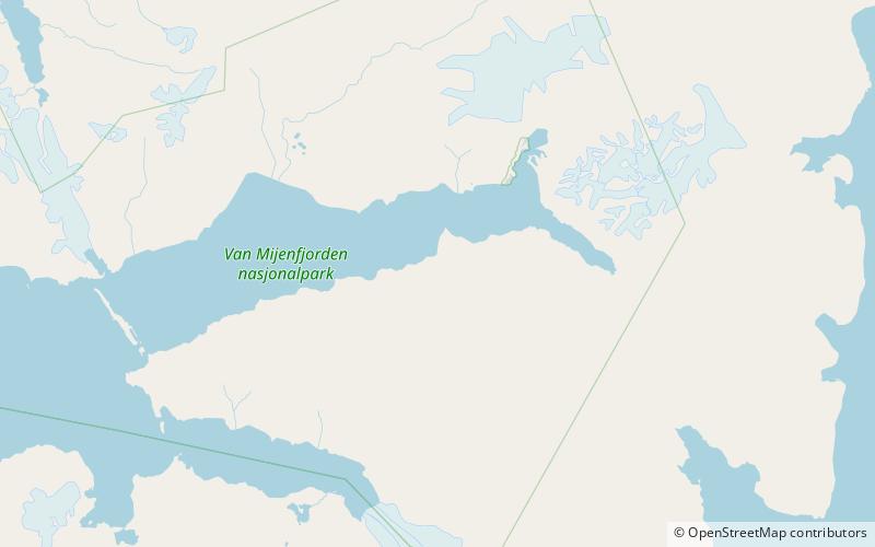
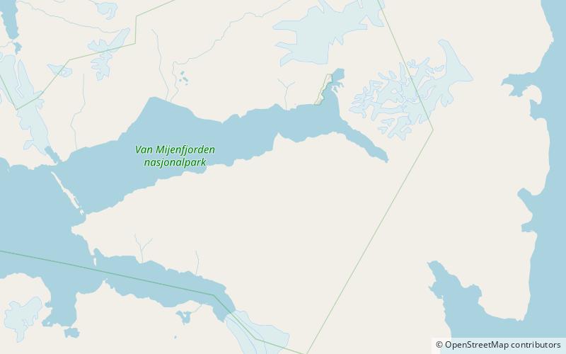
Map
Facts and practical information
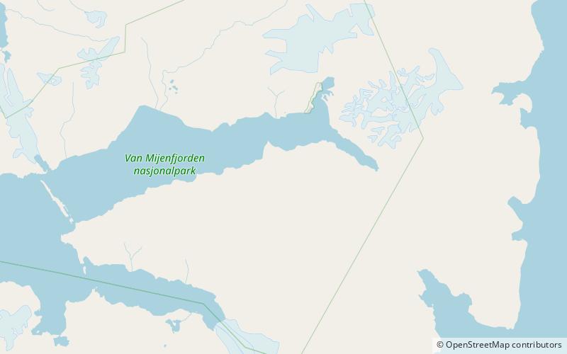
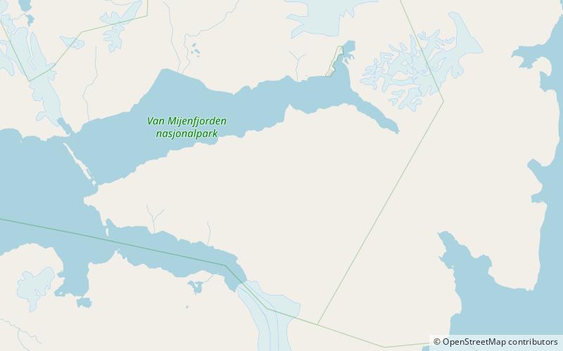
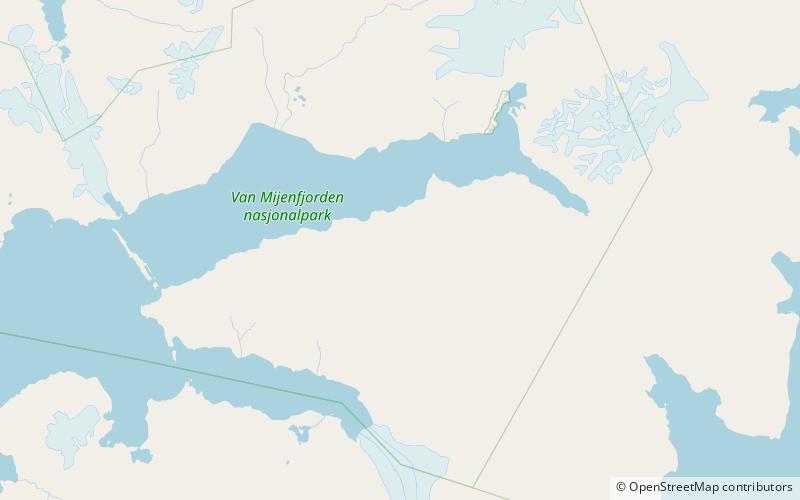
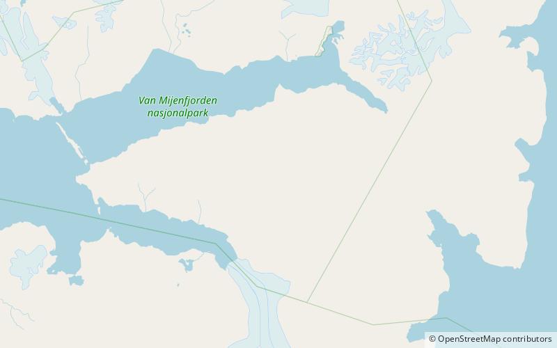
Rånekampen is a mountain in Nathorst Land at Spitsbergen, Svalbard. It has a height of 1,185 m.a.s.l. The mountain is located south of Van Mijenfjorden, and is surrounded by the mountains of Vengefjellet, Lundgrenfjellet and Steindolptoppen, and the glaciers of Langlibreen, Steindolpbreen, Vengebreen, and Rånebreen. The valley of Langlidalen separates Rånekampen from the mountains of Langlifjellet and Sven Nilssonfjellet. ()
Coordinates: 77°44'21"N, 16°15'52"E
Location
Svalbard
ContactAdd
Social media
Add
Day trips
Rånekampen – popular in the area (distance from the attraction)
Nearby attractions include: Danzigdalen, Bromelldalen, Bassøefjellet, Langlidalen.
