Skjerjavatnet

Map
Facts and practical information
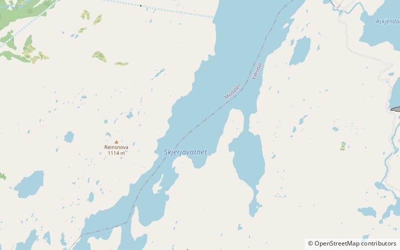
Skjerjavatnet is a lake on the border of the municipalities of Vaksdal and Modalen in Vestland county, Norway. The 7.37-square-kilometre lake sits at an elevation of 964 metres above sea level, in the mountains between the Modalen and Eksingedalen valleys. The southwest and northeast ends of the lake are both dammed up so that the lake can be regulated for hydroelectric power. ()
Alternative names: Length: 4.72 miWidth: 4921 ftElevation: 3133 ft a.s.l.Coordinates: 60°52'16"N, 6°6'30"E
Location
Hordaland
ContactAdd
Social media
Add
Day trips
Skjerjavatnet – popular in the area (distance from the attraction)
Nearby attractions include: Holskardvatnet.
