Breskarvet
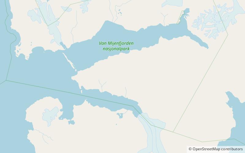
Map
Facts and practical information
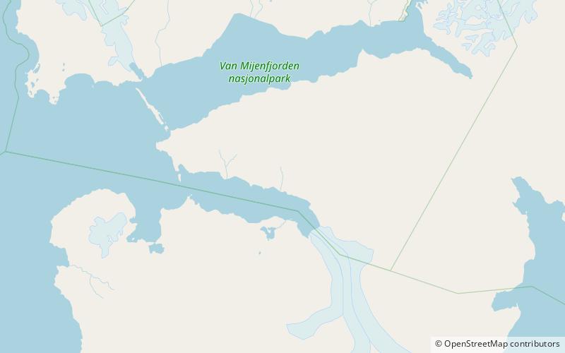
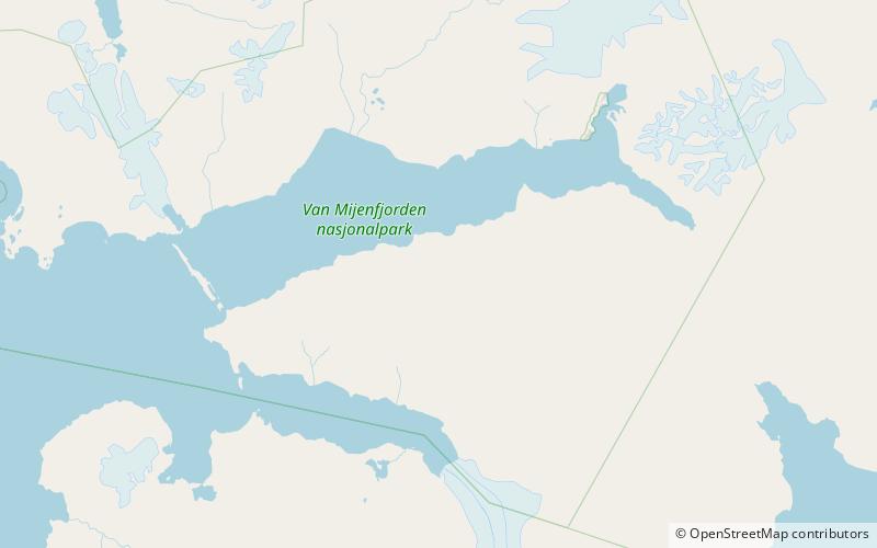
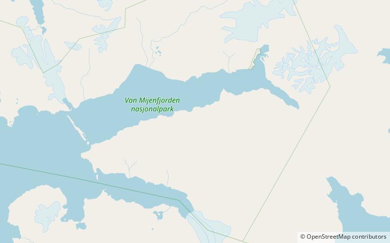
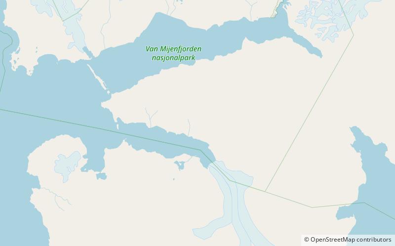
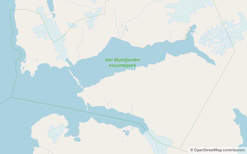
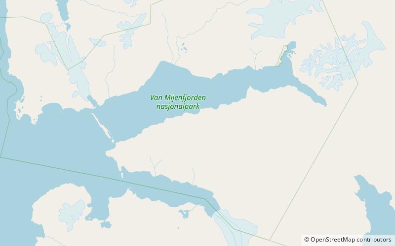
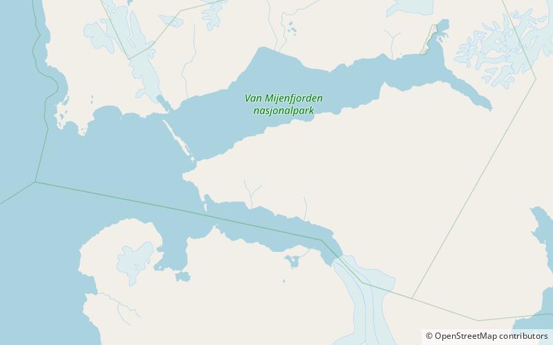
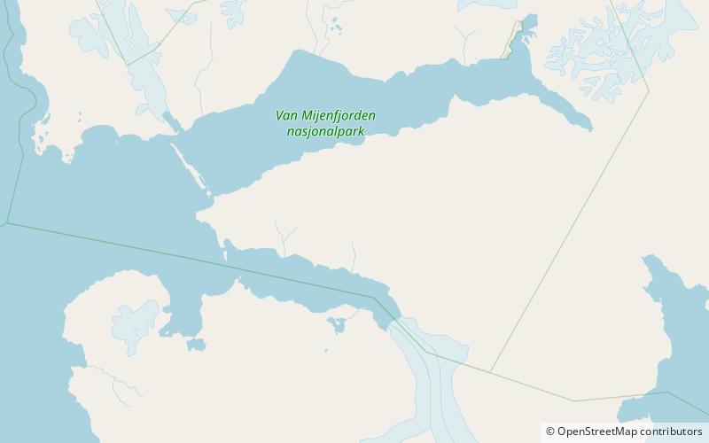
Breskarvet is a mountain ridge in Nathorst Land at Spitsbergen, Svalbard. It has a length of about six kilometres. It is situated north of the mountain range of Törnbohmfjella, and south of Krylen. Surrounding glaciers are Martinbreen, Richterbreen, Frysjabreen, Skarvisen and Greenbreen. ()
Coordinates: 77°39'25"N, 15°38'42"E
Location
Svalbard
ContactAdd
Social media
Add
Day trips
Breskarvet – popular in the area (distance from the attraction)
Nearby attractions include: Davisdalen, Bromelldalen, Sven Nilssonfjellet, Wittrockfjellet.
