Heng
Map
Map

Facts and practical information
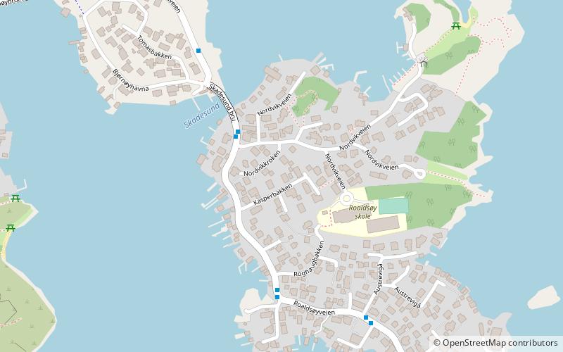
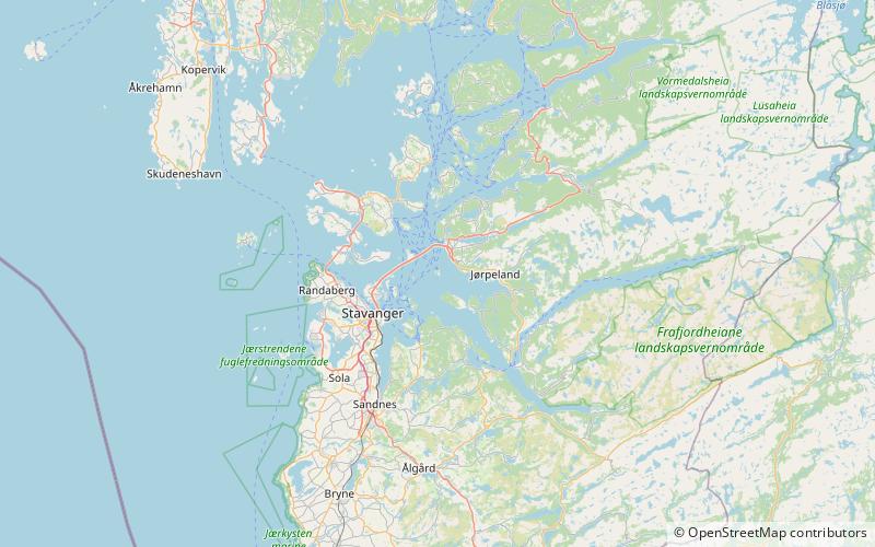
Heng is a small island in the Strand municipality of Rogaland, Norway. The 0.6-square-kilometre island lies in the Idsefjorden, about 3 kilometres southwest of the village of Tau on the mainland. Heng lies roughly halfway between the islands of Hidle and Idse. ()
Alternative names: Area: 148.26 acres (0.2317 mi²)Maximum elevation: 174 ftCoordinates: 59°1'15"N, 5°53'41"E
Location
Rogaland
ContactAdd
Social media
Add
Day trips
Heng – popular in the area (distance from the attraction)
Nearby attractions include: Bybrua, St. Johannes Church, Jørpeland Church, Strand Church.


