Leirvatnet
Map

Map

Facts and practical information
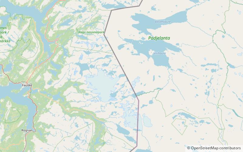
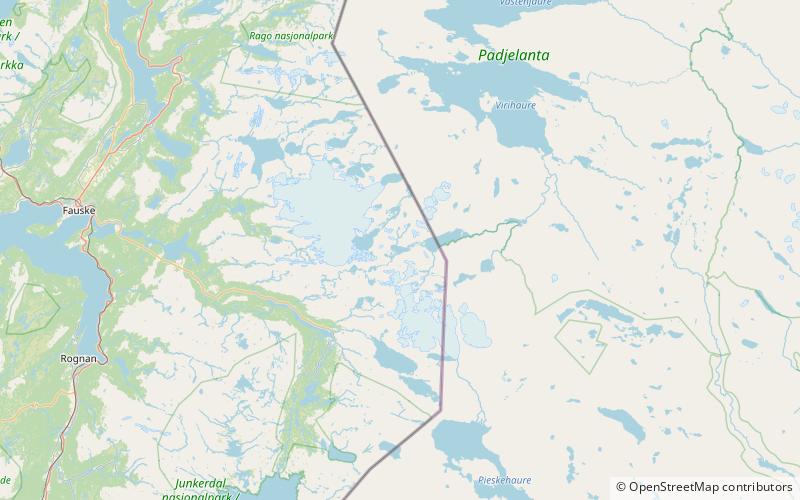
Leirvatnet is a lake located on the border between Norway and Sweden. The majority of the 2.57-square-kilometre lake lies in Sørfold Municipality in Nordland county, Norway, and the remaining 0.06 square kilometres of the lake are located in Jokkmokk Municipality in Norrbotten County, Sweden. The lake lies at one end of the large Blåmannsisen glacier. ()
Alternative names: Area: 1 mi²Length: 9843 ftWidth: 3281 ftElevation: 2753 ft a.s.l.Coordinates: 67°17'28"N, 16°14'51"E
Location
Nordland
ContactAdd
Social media
Add
Day trips
Leirvatnet – popular in the area (distance from the attraction)
Nearby attractions include: Blåmannsisen, Blåmannsisvatnet, Bajep Sårjåsjávrre, Vuolep Sårjåsjávrre.


