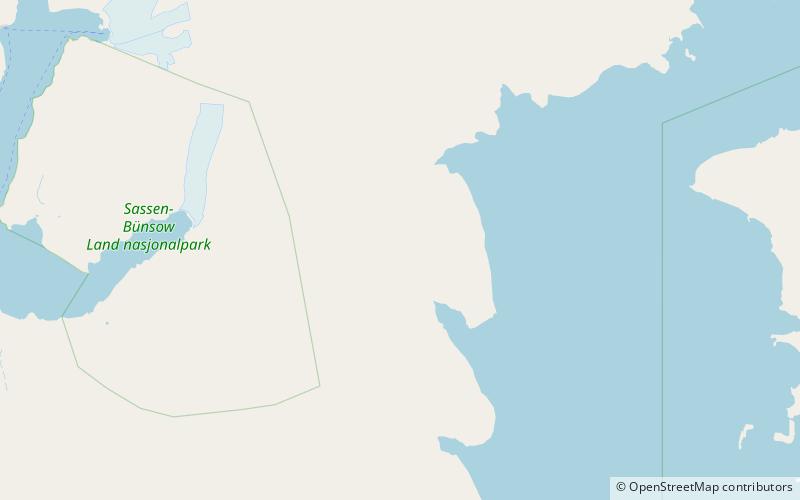
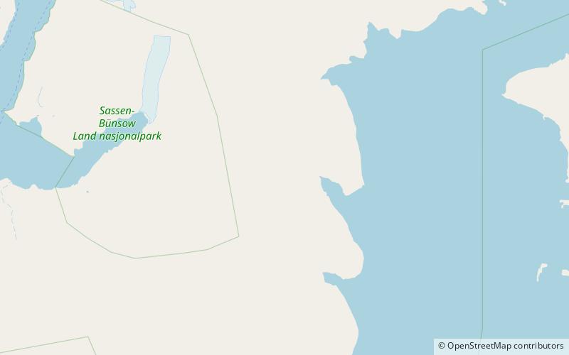
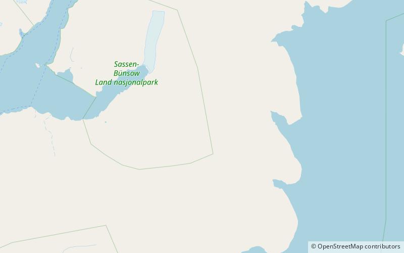
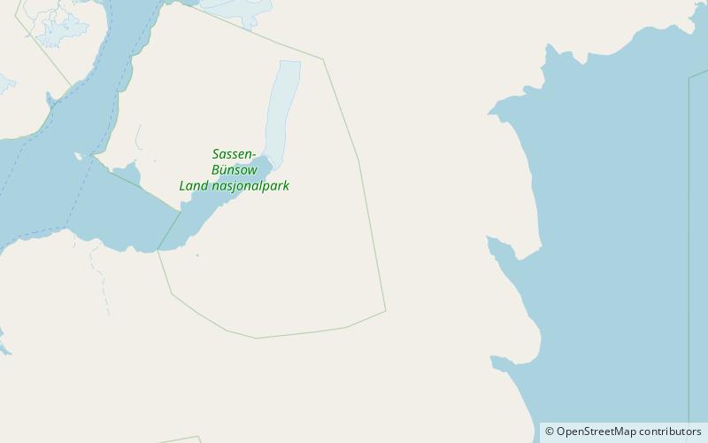
Bairdfjellet
Map
Facts and practical information
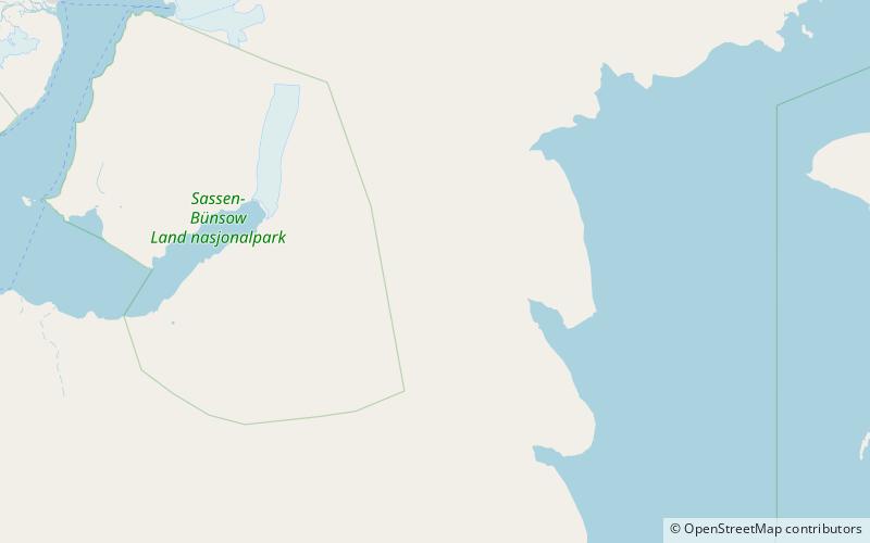
Bairdfjellet is a mountain in Sabine Land at Spitsbergen, Svalbard. It has a height of 857 m.a.s.l. and is situated between the glaciers of Hayesbreen and Fimbulisen/Rabotbreen. ()
Coordinates: 78°22'56"N, 18°16'19"E
Location
Svalbard
ContactAdd
Social media
Add
Day trips