Aagaardfjellet

Map
Facts and practical information
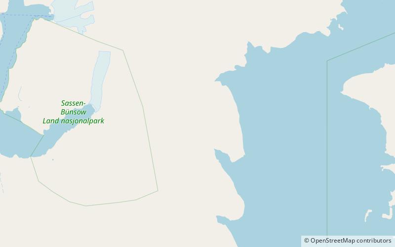
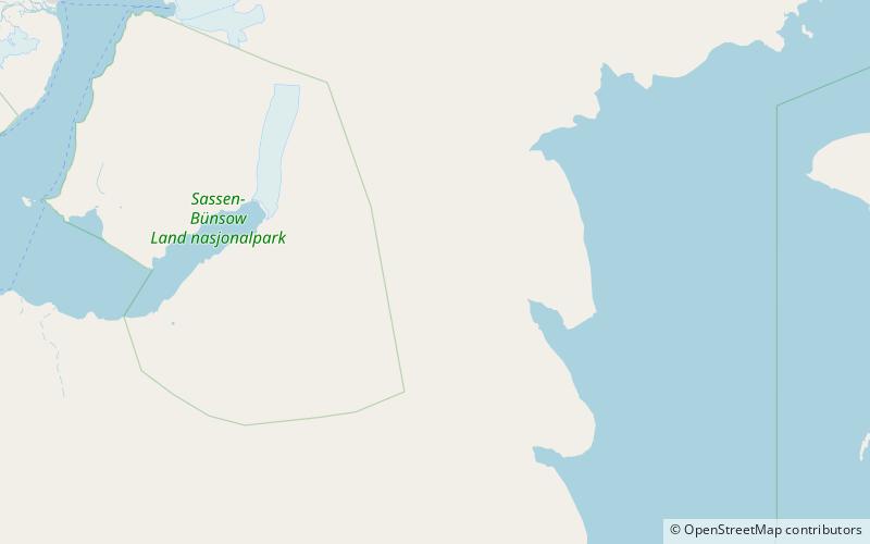
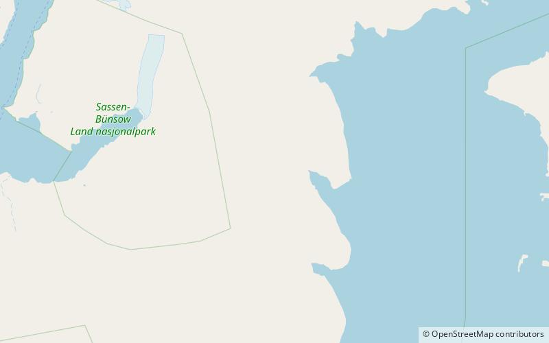
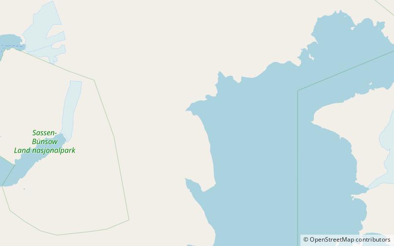
Aagaardfjellet is a mountain in Sabine Land at Spitsbergen, Svalbard. It is named after Norwegian businessperson Andreas Zacharias Aagaard. The mountain has a height of 684 m.a.s.l. and is situated north of the glacier of Hayesbreen, and west of the bay of Wichebukta. ()
Coordinates: 78°24'40"N, 18°33'14"E
Location
Svalbard
ContactAdd
Social media
Add
Day trips
Aagaardfjellet – popular in the area (distance from the attraction)
Nearby attractions include: Bairdfjellet, Jebensfjellet, Wichefjellet, Hayesbreen.


