Sjona
Map
Gallery
Facts and practical information
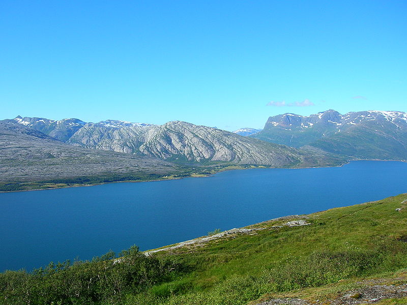
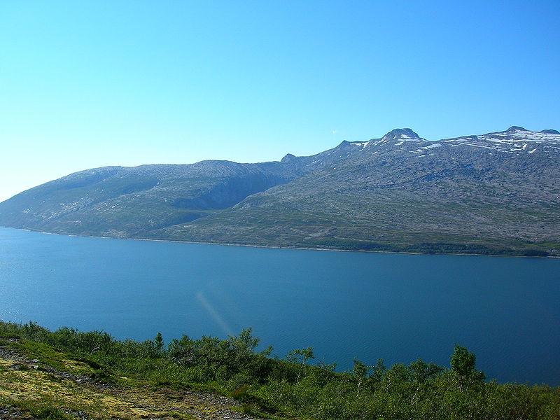
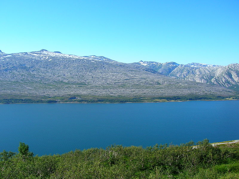
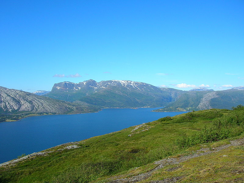
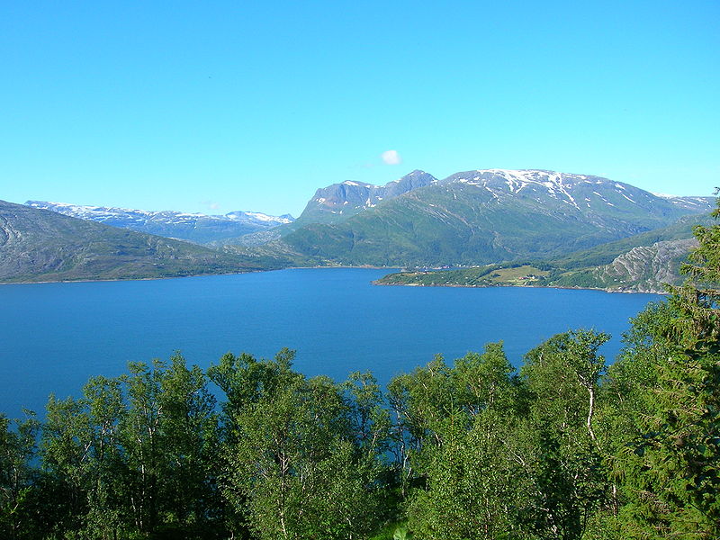
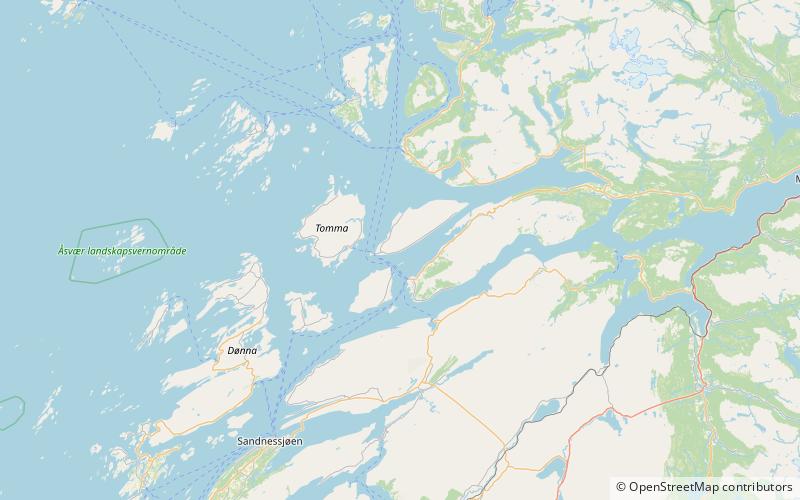
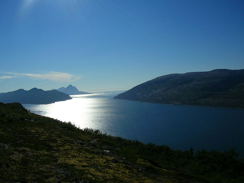
Sjona is a fjord in Nordland county, Norway. The 26-kilometre fjord begins in the municipality of Rana and flows to the west through Nesna and Lurøy municipalities into the sea. The islands of Handnesøya and Tomma lie at the mouth of the fjord. The deepest part of the fjord reaches 636 metres below sea level. Norwegian County Road 17 follows the entire coast of the fjord. Villages along the shore of the fjord include Flostrand, Mæla, and Myklebustad. ()
Location
Nordland
ContactAdd
Social media
Add
Day trips
Sjona – popular in the area (distance from the attraction)
Nearby attractions include: Handnesøya Chapel.


