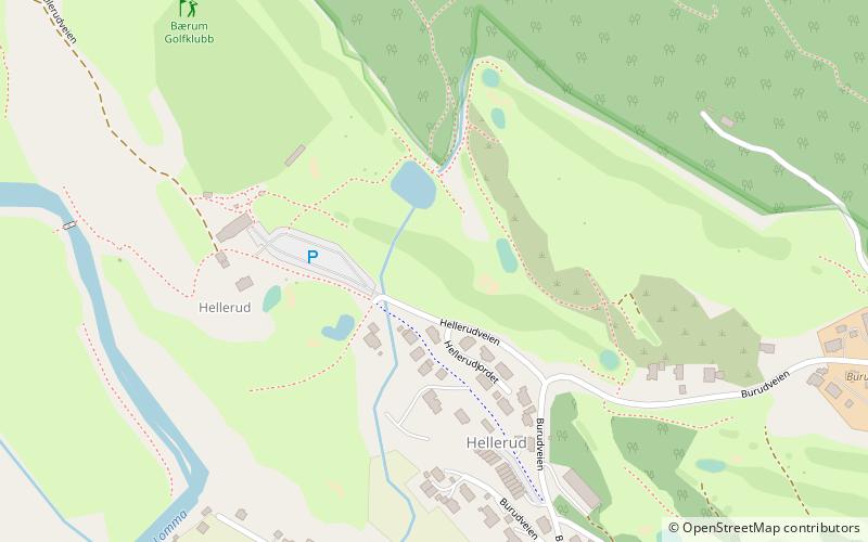
Bærum Golfklubb, Bærum

Gallery (1)
Map
Map
Facts and practical information
Bærum Golfklubb (address: Hellerudveien 51) is a place located in Bærum (Akershus county) and belongs to the category of golf.
It is situated at an altitude of 515 feet, and its geographical coordinates are 59°57'38"N latitude and 10°29'38"E longitude.
Among other places and attractions worth visiting in the area are: Bryn Church (church, 70 min walk), Bryn (neighbourhood, 72 min walk), Løvenskiold shooting range, Oslo (neighbourhood, 76 min walk).
Coordinates: 59°57'38"N, 10°29'38"E
Day trips