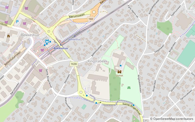
Ringstabekk, Oslo
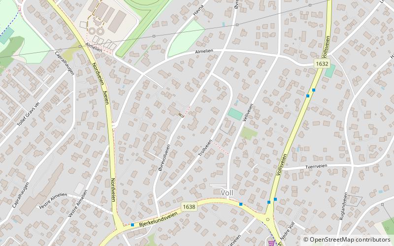
Map
Facts and practical information
Ringstabekk is a district in Bærum, Norway. Named after the local farm, the district is also known for its schools and the sports field. The sports club Stabæk IF originates in the area. ()
Address
Oslo
ContactAdd
Social media
Add
Getting there by public transportation
Public transportation stops near this location
- Metro
- Bus
- Tram
- Train
 Metro
Metro
- Calculate routeBekkestua 3 min walk
- Calculate routeJar 26 min walk
- Calculate routeStabekk skole 4 min walk
- Calculate routeBekkestua bussterminal 5 min walk
- Calculate routeRingstabekkveien 6 min walk
- Calculate routeBekkestua 4 min walk
- Calculate routeRingstabekk 12 min walk
- Calculate routeGjønnes 12 min walk
- Calculate routeHaslum 25 min walk
- Calculate routeRingstabekk 12 min walk
- Calculate routeGjønnes 12 min walk
- Calculate routeStabekk 20 min walk
- Calculate routeHaslum 25 min walk
Day trips


Frequently Asked Questions (FAQ)
Which popular attractions are close to Ringstabekk?
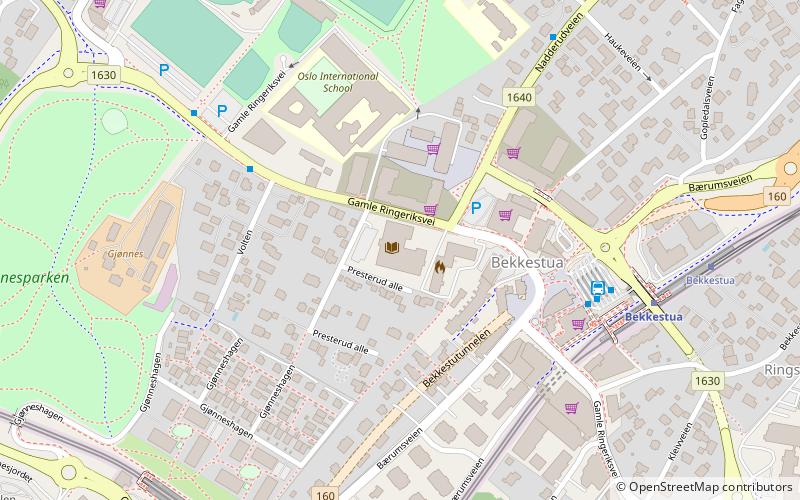
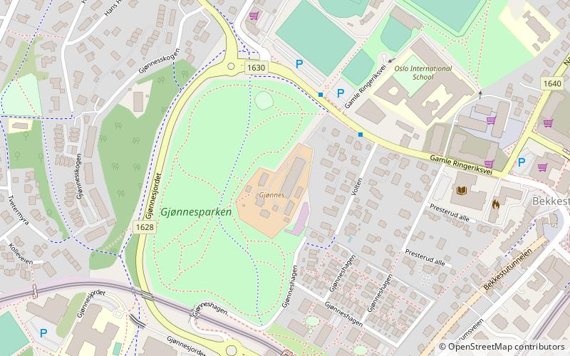
Nearby attractions include Bekkestua Tunnel, Bærum (8 min walk), Gjønnes, Bærum (13 min walk), Skallum, Oslo (14 min walk), Nadderud, Bærum (15 min walk).
How to get to Ringstabekk by public transport?
The nearest stations to Ringstabekk:
Tram
Bus
Metro
Train
Tram
- Bekkestua (3 min walk)
- Jar (26 min walk)
Bus
- Stabekk skole • Lines: 225 (4 min walk)
- Bekkestua bussterminal (5 min walk)
Metro
- Bekkestua (4 min walk)
- Ringstabekk (12 min walk)
Train
- Ringstabekk (12 min walk)
- Gjønnes (12 min walk)