Hadsel Bridge
Map
Map

Facts and practical information
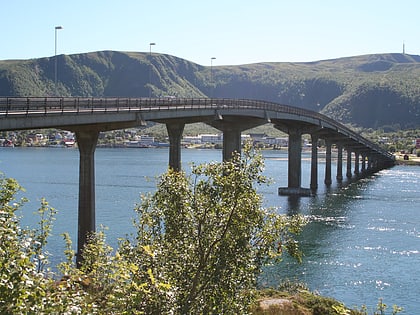
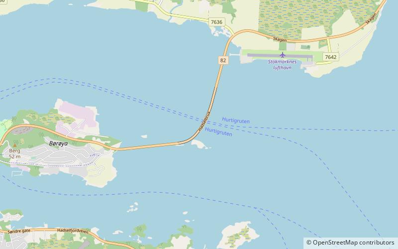
The Hadsel Bridge is a cantilever road bridge in Hadsel Municipality in Nordland county, Norway. The bridge carries Norwegian County Road 82 and it crosses the Langøysundet strait between the islands of Langøya and Børøya. Together with the Børøy Bridge it connects the island of Hadseløya and the town of Stokmarknes to the neighboring island of Langøya. The Hadsel Bridge is 1,011 metres long, the main span is 150 metres, and the maximum clearance to the sea is 30 metres. The bridge has a total of 27 spans. ()
Local name: Hadsel bru Completed: 1978 (48 years ago)Length: 3317 ftCoordinates: 68°34'20"N, 14°59'35"E
Location
Nordland
ContactAdd
Social media
Add
Day trips
Hadsel Bridge – popular in the area (distance from the attraction)
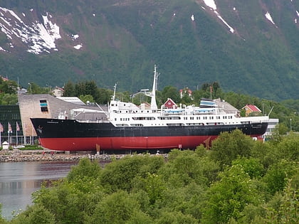
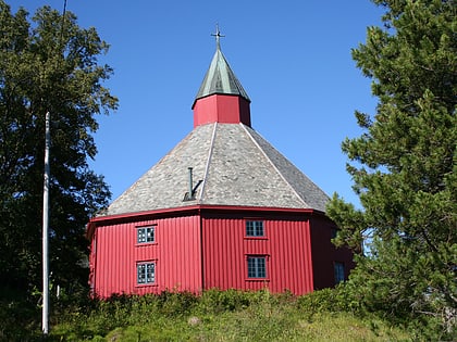
Nearby attractions include: Norwegian Fishing Industry Museum, Børøy Bridge, Norwegian Coastal Express Museum, Hadsel.

