Magdalenefjorden, Nordvest-Spitsbergen National Park
Map

Map

Facts and practical information
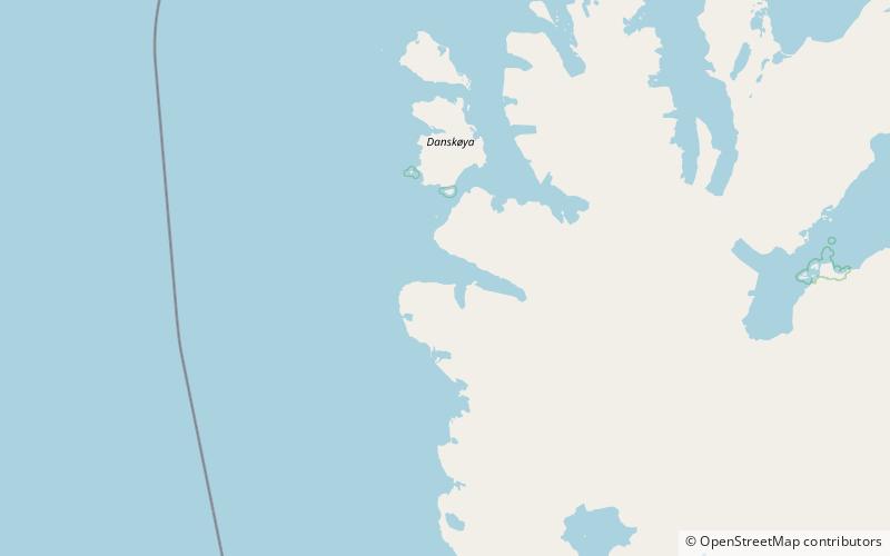
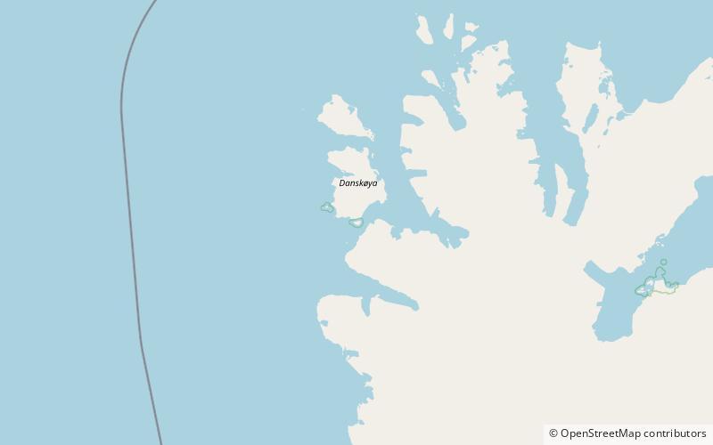
Magdalenefjorden is an 8 km long and up to 5 km wide fjord between Reuschhalvøya and Hoelhalvøya, Albert I Land, on the west coast of Spitsbergen, the largest island in the Svalbard archipelago. It is large enough to accommodate even the largest of cruise ships which are even able to turn through 180 degrees in the fjord. On the south shore of the fjord is the bay Gullybukta. ()
Address
Nordvest-Spitsbergen National Park
ContactAdd
Social media
Add
Day trips
Magdalenefjorden – popular in the area (distance from the attraction)
Nearby attractions include: Moseøya Bird Sanctuary, Waggonwaybreen, Gullybreen, Scheibreen.


