Jendemsfjellet
Map
Map

Facts and practical information
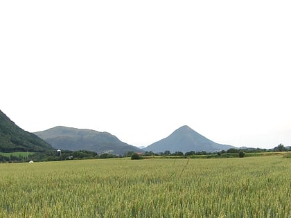
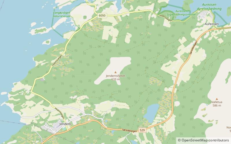
Jendemsfjellet is a mountain in Hustadvika Municipality in Møre og Romsdal county, Norway. The cone-shaped mountain is located just northeast of the villages of Jendem and Hollingen, southeast of the small island of Vågøya, and southwest of the village of Aureosen. The 633-metre mountain sits just east of Julsundet strait and south of Frænafjorden. ()
Location
Møre og Romsdal
ContactAdd
Social media
Add
Day trips
Jendemsfjellet – popular in the area (distance from the attraction)
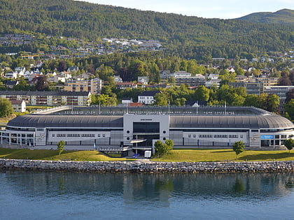
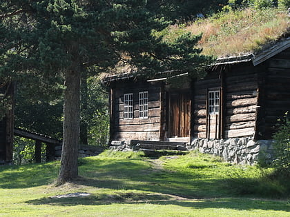
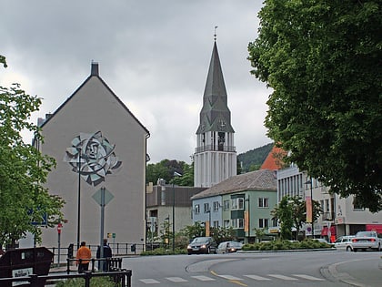
Nearby attractions include: Aker Stadion, Romsdalsmuseet, Molde Cathedral, Aukra kirke.
