Hjelledalstind

Gallery (1)
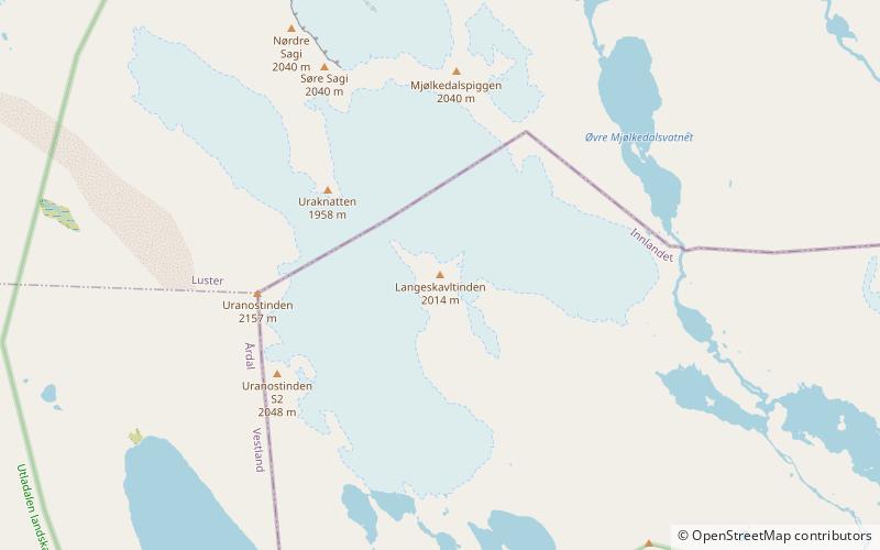
Map
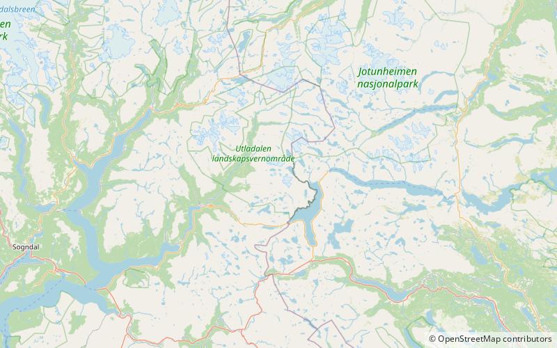
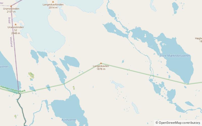
Map
Facts and practical information
Hjelledalstind is a mountain in Årdal Municipality in Vestland county, Norway, in the Jotunheimen mountain range. It was first climbed in 1884 by Carl Hall and Mathias Soggemoen. ()
Local name: Hjelledalstinden First ascent: 1884Elevation: 6526 ftProminence: 2280 ftCoordinates: 61°22'8"N, 8°6'2"E
Location
Sogn og Fjordane
ContactAdd
Social media
Add
Day trips