Tyin

Gallery (1)
Map
Map
Facts and practical information
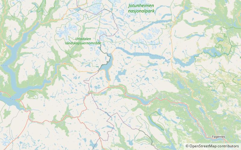
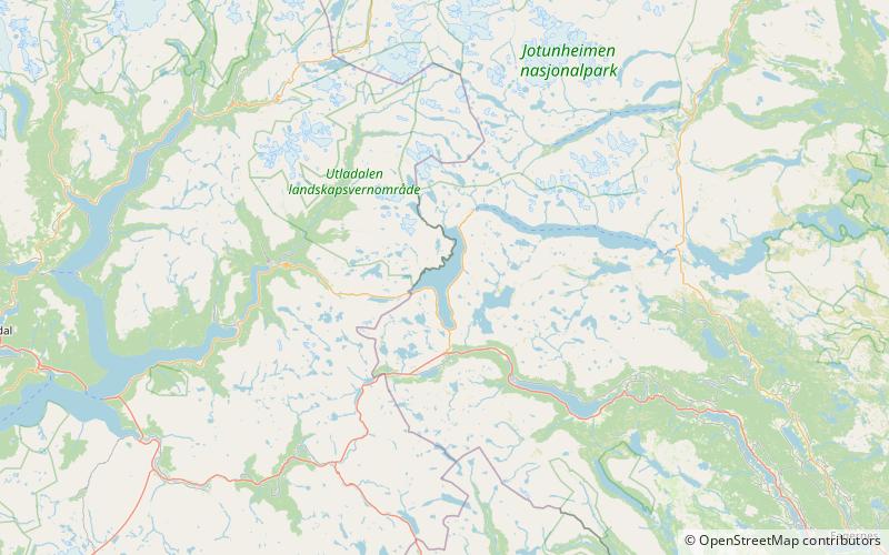
Tyin is a lake in the southwest part of the Jotunheimen mountain range in Norway. The lake lies in Vang Municipality in Innlandet county, although a small portion extends into Årdal Municipality in Vestland county. The western border follows, for a large part, the border between Vang and Årdal. The 33.02-square-kilometre lake serves as a reservoir for the Tyin Hydroelectric Power Station and the water level is regulated between 1,082.84 to 1,072.50 metres above sea level. The lake holds a volume of 0.313 cubic kilometres. ()
Location
Oppland
ContactAdd
Social media
Add
Day trips