Trengsel Bridge
Map

Map

Facts and practical information
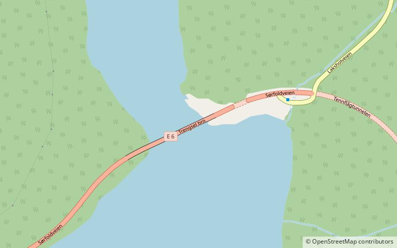
The Trengsel Bridge is a bridge that crosses the Trengselet strait in the municipality of Sørfold in Nordland county, Norway. The 179-metre-long bridge is on the European route E6 highway between the towns of Fauske and Narvik. From the bridge, the beginning of an old railway tunnel for the Polar Line railway can be seen just to the north of the eastern end of the bridge. The tunnel was never completed. ()
Local name: Trengsel bru Opened: 1966 (60 years ago)Length: 587 ftCoordinates: 67°25'17"N, 15°40'4"E
Location
Nordland
ContactAdd
Social media
Add
Day trips
Trengsel Bridge – popular in the area (distance from the attraction)
Nearby attractions include: Røsvik Church.

