Heilhornet

Gallery (1)
Map
Map
Facts and practical information
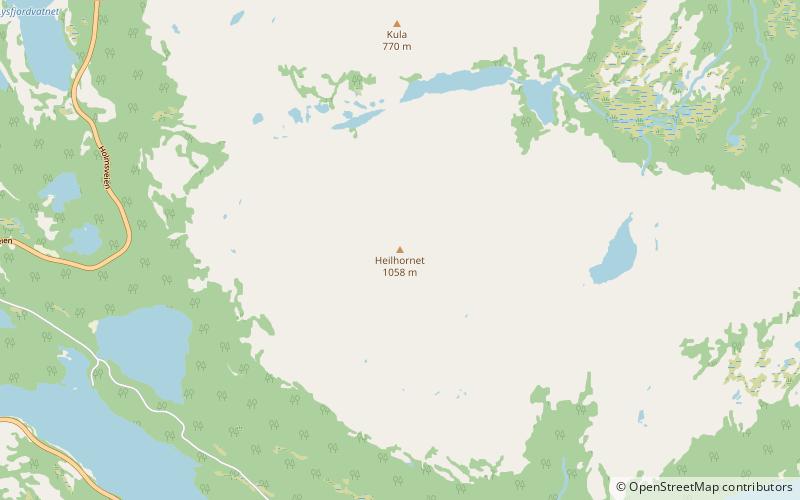
Heilhornet is a mountain in the municipality of Bindal in Nordland, Norway. It has a height of 1,058 metres and is a landmark visible from the sea lane. The Norwegian County Road 17 runs along the western base of the mountain. ()
Location
Nordland
ContactAdd
Social media
Add
Day trips
Heilhornet – popular in the area (distance from the attraction)
Nearby attractions include: Austra.
