Vefsnfjord
Map

Map

Facts and practical information
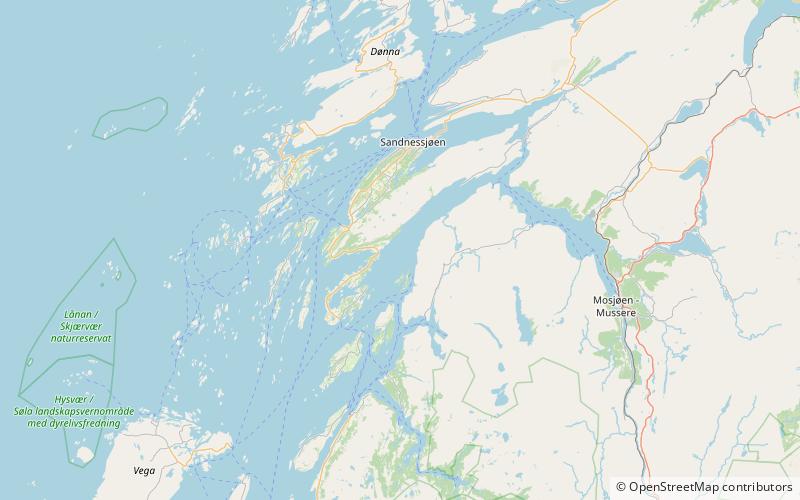
The Vefsnfjord or Vefsnfjorden is a fjord in the Helgeland traditional district of Nordland county, Norway. It is about 51 kilometres long, reaching a maximum depth of about 440 metres below sea level. The fjord flows through the municipalities of Alstahaug, Leirfjord, and Vefsn. ()
Location
Nordland
ContactAdd
Social media
Add
Day trips
Vefsnfjord – popular in the area (distance from the attraction)
Nearby attractions include: Tjøtta Church, De syv søstre.


