Gjevilvatnet

Gallery (1)
Map
Map
Facts and practical information
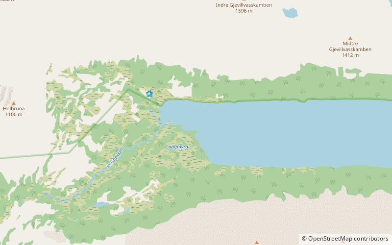
Gjevillvatnet is a lake in the municipality of Oppdal in Trøndelag county, Norway. It is located in the Trollheimen mountain range, about 5 kilometres south of the mountain Blåhøa and about 5 kilometres northwest of the village of Vognillan. ()
Local name: Gjevillvatnet Area: 8.18 mi²Length: 10.56 miWidth: 5906 ftElevation: 2165 ft a.s.l.Coordinates: 62°42'32"N, 9°12'42"E
Location
Sør-Trøndelag
ContactAdd
Social media
Add
Day trips

