Ångardsvatnet
Map

Map

Facts and practical information
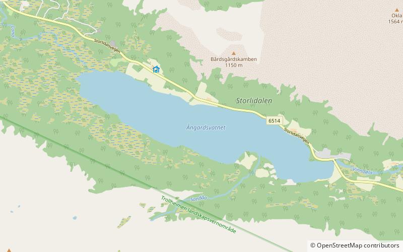
Ångardsvatnet is a lake in the municipality of Oppdal in Trøndelag county, Norway. The 3.24-square-kilometre lake lies in the Storlidalen valley, about 13 kilometres northwest of the village of Lønset and about 35 kilometres west of the village of Oppdal. The lake is about 4.8 kilometres long and about 950 metres wide. It is surrounded by the Trollheimen mountain range including the mountains Gråfjellet, Kråkvasstind, and Lorthøa to the south and Bårdsgardskammen and Okla to the north. The lake Gjevillvatnet lies in the next valley to the north of Ångardsvatnet. ()
Alternative names: Area: 1.25 mi²Length: 2.98 miWidth: 3117 ftElevation: 1913 ft a.s.l.Coordinates: 62°40'17"N, 9°9'59"E
Location
Sør-Trøndelag
ContactAdd
Social media
Add
Day trips
Ångardsvatnet – popular in the area (distance from the attraction)
Nearby attractions include: Gjevilvatnet.

