Oltedalsvatnet
Map

Map

Facts and practical information
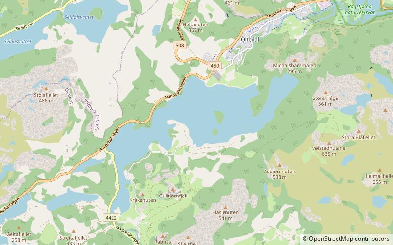
Oltedalsvatnet is a lake in the municipality of Gjesdal in Rogaland county, Norway. The 3.12-square-kilometre lake lies just south of the village of Oltedal. It is a reservoir along the river Oltedalsåna that is used to store water for the Oltedal Hydroelectric Power Station. The lake sits at an elevation of 101.5 to 112.5 metres and it holds about 28,800,000 cubic metres. ()
Alternative names: Length: 2.49 miWidth: 4921 ftElevation: 361 ft a.s.l.Coordinates: 58°48'44"N, 6°1'3"E
Location
Rogaland
ContactAdd
Social media
Add
Day trips
Oltedalsvatnet – popular in the area (distance from the attraction)
Nearby attractions include: Limavatnet, Gjesdal Church, Oltedal Church, Høgsfjorden.


