Edlandsvatnet
Map
Facts and practical information
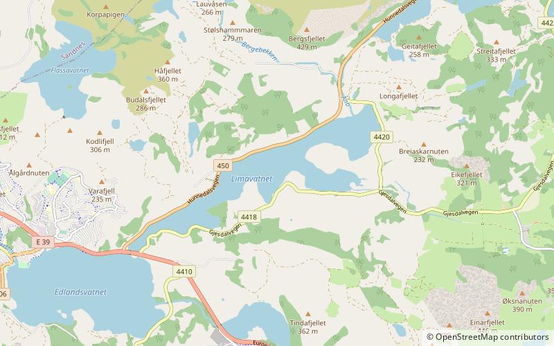
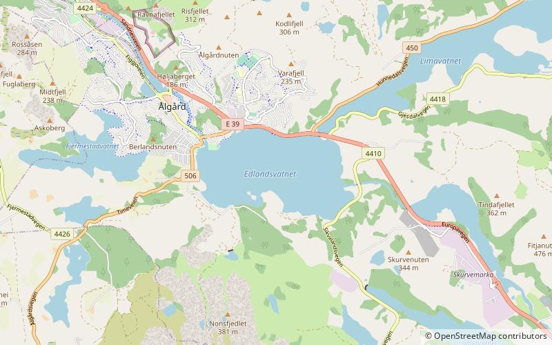
Edlandsvatnet is a lake in the municipality of Gjesdal in Rogaland county, Norway. The 2.11-square-kilometre lake lies just south of the large village of Ålgård, immediately southwest of the lake Limavatnet. The European route E39 highway runs along the northern shore of the lake. The lake empties into the river Figgjoelva on the northwestern end of the lake. The lake has many brown trout in it. ()
Alternative names: Length: 7546 ftWidth: 4265 ftElevation: 335 ft a.s.l.Coordinates: 58°45'38"N, 5°52'23"E
Location
Rogaland
ContactAdd
Social media
Add
Day trips