Holden
Map

Map

Facts and practical information
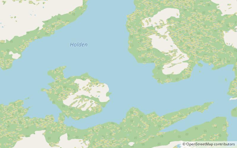
Holden is a lake in the municipality of Steinkjer in Trøndelag county, Norway. It is located about 8 kilometres west of the village of Malm and about 10 kilometres north of the village of Follafoss. The 13.31-square-kilometre lake has a dam on the southern end to control the water for hydroelectric power. The lake flows out into the Follaelva river which flows into the Trondheimsfjord at the village of Follafoss. ()
Alternative names: Length: 5.28 miWidth: 3.11 miElevation: 988 ft a.s.l.Coordinates: 64°4'11"N, 10°57'56"E
Location
Nord-Trøndelag
ContactAdd
Social media
Add
Day trips
Holden – popular in the area (distance from the attraction)
Nearby attractions include: Sela Church.

