Bygdin

Gallery (1)
Map
Map
Facts and practical information
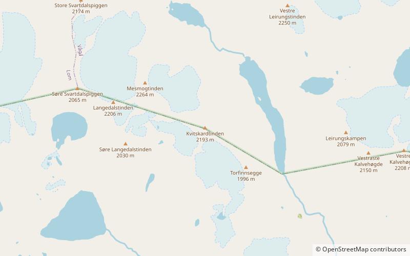
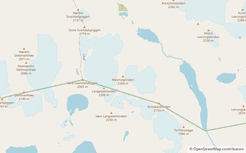
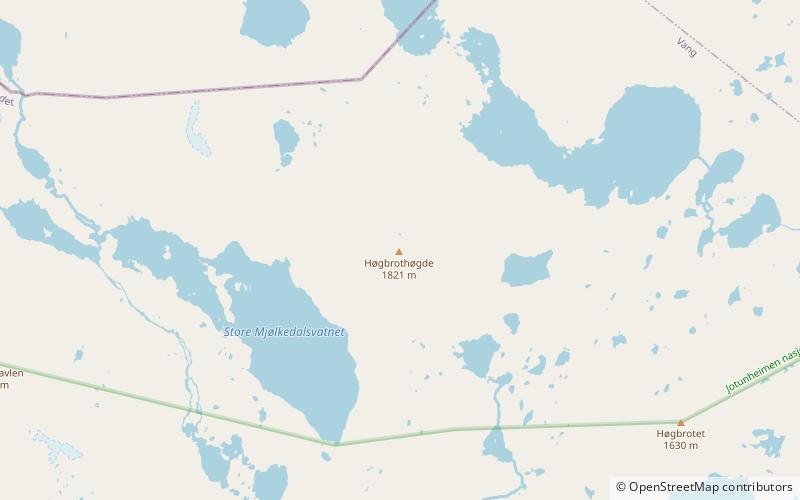
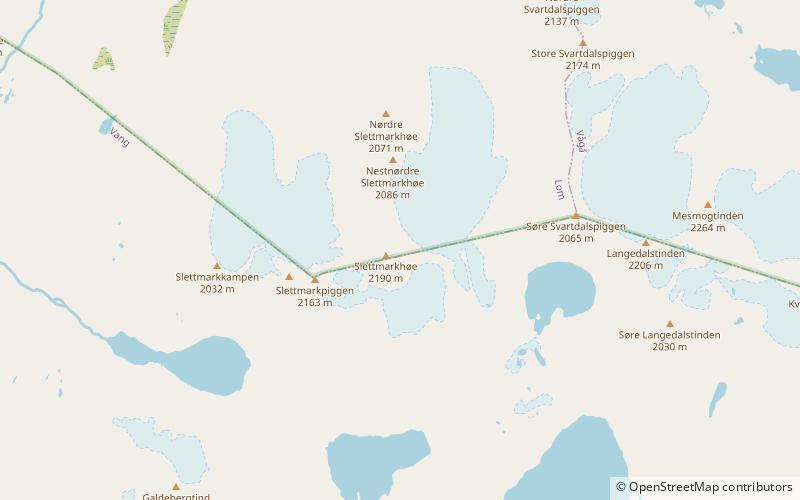
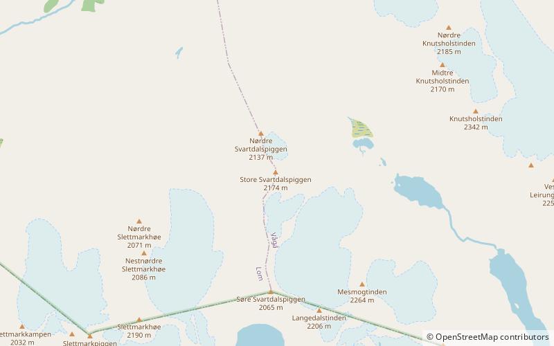
Bygdin is a lake in the southern part of the Jotunheimen mountain range. It is located in Vang municipality in Oppland, Norway. ()
Alternative names: Area: 15.46 mi²Length: 15.53 miMaximum depth: 705 ftElevation: 3471 ft a.s.l.Coordinates: 61°21'47"N, 8°23'9"E
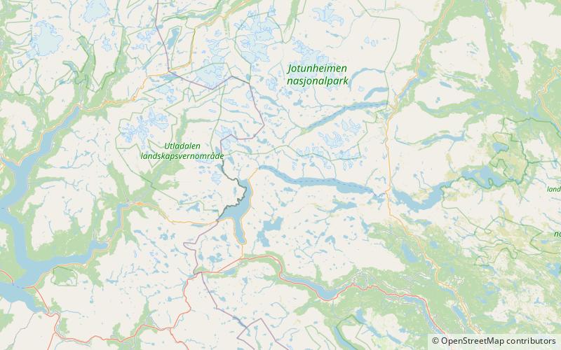
Location
Oppland
ContactAdd
Social media
Add
Day trips