Stora Stokkavatnet, Stavanger
Map
Facts and practical information
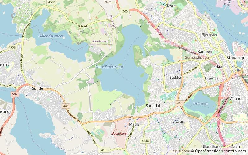
Stora Stokkavatnet is a lake in the municipality of Stavanger in Rogaland county, Norway. The 2.12-square-kilometre lake lies just west of the centre of the city of Stavanger. The lake lies in the western part of the municipality and it forms the boundary of the boroughs of Tasta, Eiganes og Våland, and Madla. ()
Alternative names: Length: 5.1 miWidth: 5249 ftMaximum depth: 138 ftElevation: 30 ft a.s.l.Coordinates: 58°57'51"N, 5°40'9"E
Address
Stavanger
ContactAdd
Social media
Add
Day trips
Stora Stokkavatnet – popular in the area (distance from the attraction)
Nearby attractions include: DNB Arena, Madla, Tasta Church, Tjensvoll Church.
Frequently Asked Questions (FAQ)
Which popular attractions are close to Stora Stokkavatnet?
Nearby attractions include Møllebukta, Stavanger (17 min walk), Stokka Church, Stavanger (20 min walk).
How to get to Stora Stokkavatnet by public transport?
The nearest stations to Stora Stokkavatnet:
Bus
Bus
- Stavanger turnhall • Lines: 6 (27 min walk)
- Tjensvollkrysset • Lines: 6 (31 min walk)

