Langvatnet

Map
Facts and practical information
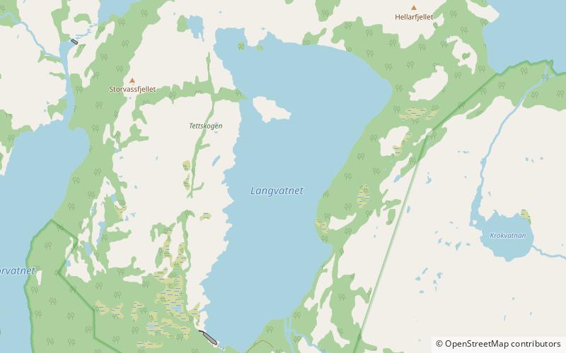
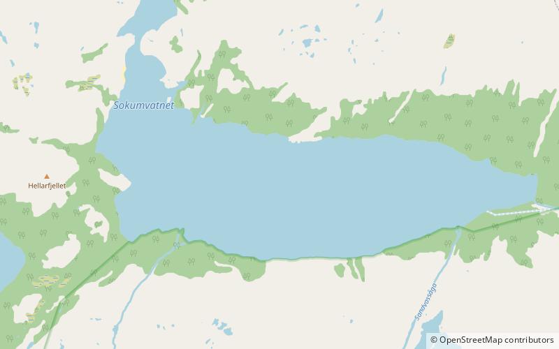
Langvatnet is a lake that lies in the municipality of Gildeskål in Nordland county, Norway. The lake is located about 15 kilometres southeast of the municipal centre of Inndyr. It sits directly southwest of the large lake Sokumvatnet. The lake is partially supplied by discharge from the Langvann Hydroelectric Power Station and serves as a reservoir for the Sundsfjord Hydroelectric Power Station. ()
Alternative names: Length: 2.17 miWidth: 6562 ftElevation: 1093 ft a.s.l.Coordinates: 66°54'19"N, 14°9'36"E
Location
Nordland
ContactAdd
Social media
Add
Day trips
Langvatnet – popular in the area (distance from the attraction)
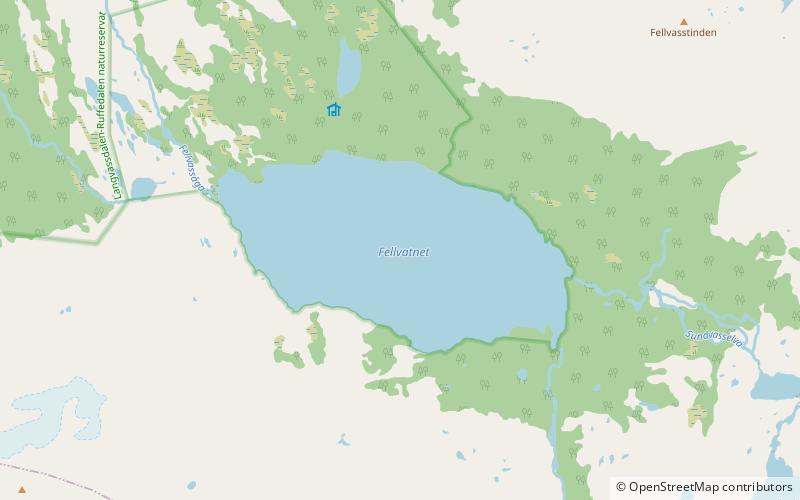
Nearby attractions include: Fellvatnet, Sokumvatnet, Litle Sokumvatnet.


