Trondheim Fjord
Map
Gallery
Facts and practical information
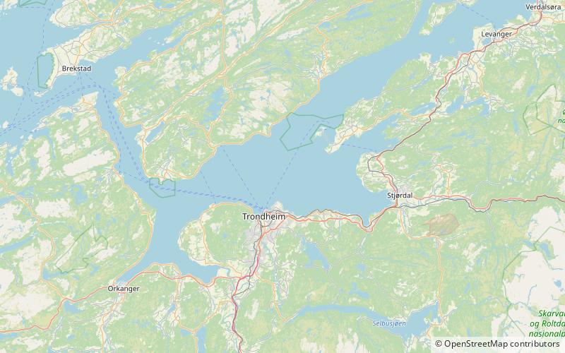
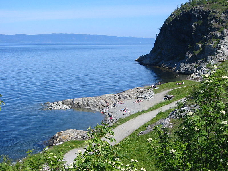
The Trondheim Fjord or Trondheimsfjorden, an inlet of the Norwegian Sea, is Norway's third-longest fjord at 130 kilometres long. It is located in the west-central part of the country in Trøndelag county, and it stretches from the municipality of Ørland in the west to the municipality of Steinkjer in the north, passing the city of Trondheim on its way. Its maximum depth is 617 metres, between Orkland and Indre Fosen. ()
Local name: Trondheimsfjorden Length: 80.78 miMaximum depth: 2024 ftCoordinates: 63°30'0"N, 10°28'0"E
Location
Sør-Trøndelag
ContactAdd
Social media
Add
Day trips
Trondheim Fjord – popular in the area (distance from the attraction)
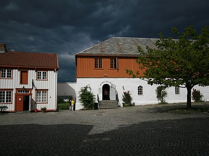
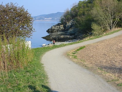
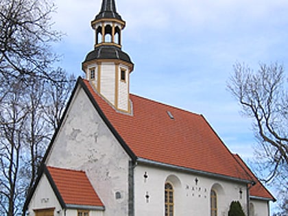
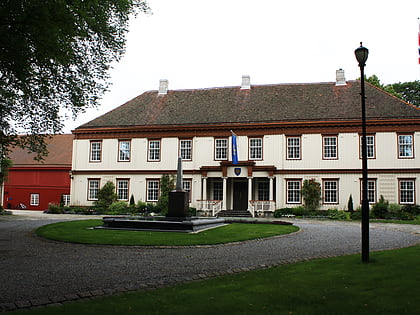
Nearby attractions include: Ringve Museum, Ladestien, Lade Church, Lade Mansion.

