Strondefjell
Map
Facts and practical information
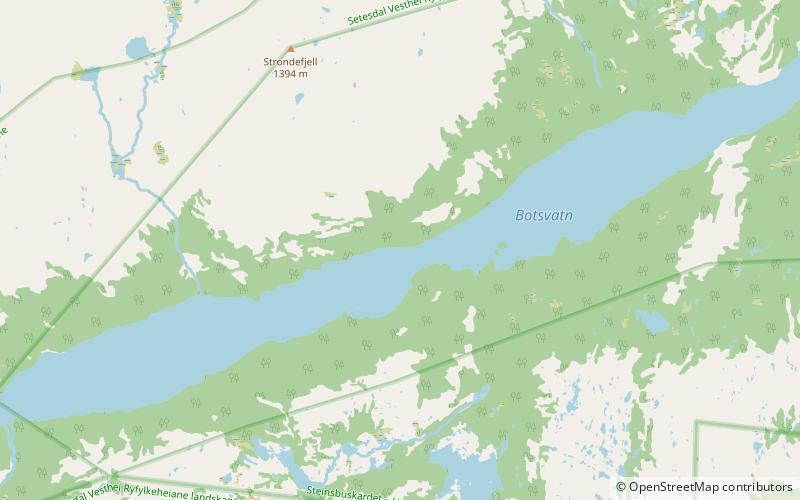
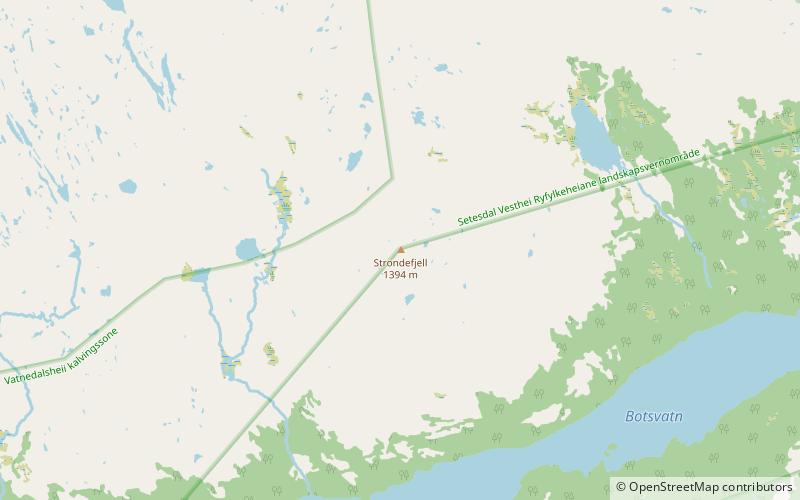
Strondefjell is a mountain in the municipality of Bykle in Agder county, Norway. The 1,394-metre tall mountain has a topographic prominence of 70 metres. The mountain is the 23rd highest in the whole county. The mountain sits in the Setesdalsheiene mountains on the northern shore of the lake Botsvatn, about 10 kilometres straight west of the village of Bykle. ()
Location
Aust-Agder
ContactAdd
Social media
Add
Day trips