Randsfjorden
Map
Gallery
Facts and practical information
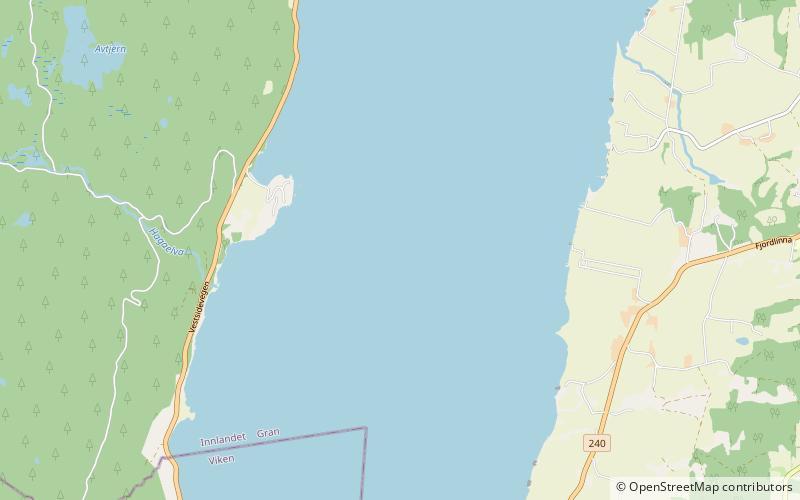
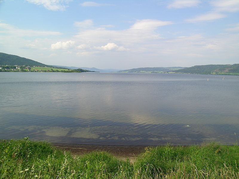
Randsfjorden is Norway's fourth-largest lake with an area of 139.23 km2. Its volume is estimated at just over 7 km3, and its greatest depth is 120 m. The lake is 135 m above sea level. It is located in the county of Innlandet and borders the municipalities of Gran, Jevnaker, Nordre Land, and Søndre Land in the districts of Land and Hadeland. It is drained by the Randselva river. ()
Alternative names: Area: 54.32 mi²Maximum depth: 394 ftElevation: 443 ft a.s.l.Coordinates: 60°23'25"N, 10°23'39"E
Location
Oppland
ContactAdd
Social media
Add
Day trips
Randsfjorden – popular in the area (distance from the attraction)
Nearby attractions include: Hadeland Folkemuseum, Tingelstad Old Church, Granavollen stone, Søsterkirkene.

